


Transforming earth observation data into knowledge
Providing customised GIS and remote sensing earth observation and monitoring solutions that enable more informed decision making.
Transforming Earth Observation Data Into Knowledge
At Swift Geospatial, we promote the idea that technology enabling the analysis of changes on our planet should be available to all professionals and decision makers. Our goal is to introduce new earth observation solutions to the market that fulfill this objective without imposing a cost that would limit accessibility to a select group of stakeholders. We advocate for open and unrestricted access to geospatial data, ensuring that everyone can benefit from it.
At Swift Geospatial, we promote the idea that technology enabling the analysis of changes on our planet should be available to all professionals and decision makers. Our goal is to introduce new earth observation solutions to the market that fulfill this objective without imposing a cost that would limit accessibility to a select group of stakeholders. We advocate for open and unrestricted access to geospatial data, ensuring that everyone can benefit from it.
OUR PROCESS

Gather Data

Analyze & Interpret Data

Present Data
OUR PROCESS
Gather Data
Analyze & Interpret Data
Present Data
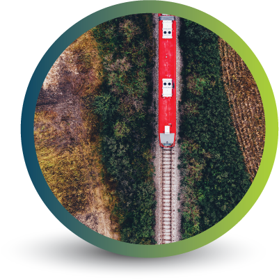
OUR REMOTE SENSING SOLUTIONS
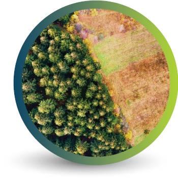


Natural
Forestry

Deforestation
Monitoring

Commercial
Forestry

Mine
Monitoring

Precision
Agriculture
OUR EARTH OBSERVATION TECHNOLOGY


ACTIVE EARTH OBSERVATION & MONITORING PROJECTS

An African Company
With Global Reach

OUR BLOG

How the EUDR Has Brought CSRD Into the Spotlight
The EUDR has put CSRD in focus, making sustainability reporting essential. Learn why businesses must monitor, report, and comply with evolving ESG regulations.

The Evolution of GIS: Aerial Photography and the Mapping Revolution – Part 2
Let’s take a decade-by-decade walk into the history books and discover the evolution of GIS and the critical role of aerial photography in its growth into a vital element of today's technological driven society.
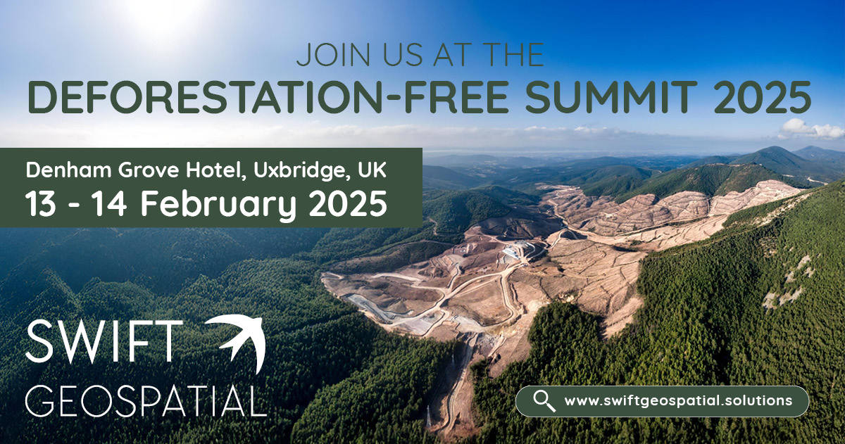
Deforestation-Free Summit 2025
Swift Geospatial is attending the Deforestation-Free Summit 2025 on February 13–14 in Uxbridge, UK, where Michael Breetzke will present a case study on a successful deforestation monitoring project. Learn how GIS and satellite imagery support EUDR compliance and proactive deforestation risk management. Visit our booth to explore how our cutting-edge monitoring solutions enhance supply chain due diligence and sustainability efforts.
OUR PARTNERS

