


Transforming earth observation data into knowledge
Providing customised GIS and remote sensing earth observation and monitoring solutions that enable more informed decision making.
Transforming Earth Observation Data Into Knowledge
At Swift Geospatial, we promote the idea that technology enabling the analysis of changes on our planet should be available to all professionals and decision makers. Our goal is to introduce new earth observation solutions to the market that fulfill this objective without imposing a cost that would limit accessibility to a select group of stakeholders. We advocate for open and unrestricted access to geospatial data, ensuring that everyone can benefit from it.
At Swift Geospatial, we promote the idea that technology enabling the analysis of changes on our planet should be available to all professionals and decision makers. Our goal is to introduce new earth observation solutions to the market that fulfill this objective without imposing a cost that would limit accessibility to a select group of stakeholders. We advocate for open and unrestricted access to geospatial data, ensuring that everyone can benefit from it.
OUR PROCESS

Gather Data

Analyze & Interpret Data

Present Data
OUR PROCESS
Gather Data
Analyze & Interpret Data
Present Data
OUR REMOTE SENSING SOLUTIONS


Natural
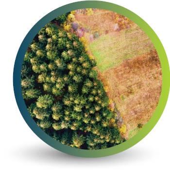
Forestry

Deforestation
Monitoring

Commercial
Forestry

Mine
Monitoring

Precision
Agriculture
OUR EARTH OBSERVATION TECHNOLOGY


ACTIVE EARTH OBSERVATION & MONITORING PROJECTS

An African Company
With Global Reach

OUR BLOG
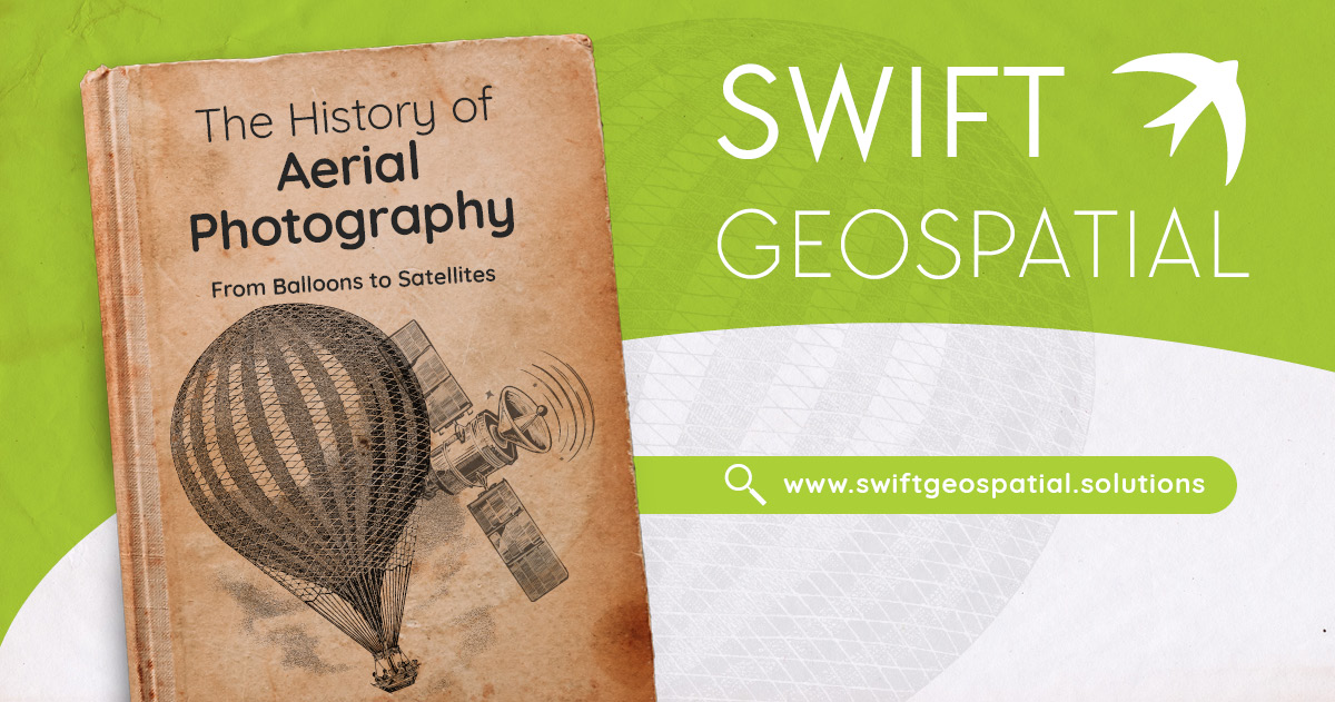
The Evolution of GIS: Aerial Photography and the Mapping Revolution – Part 1
Let’s take a decade-by-decade walk into the history books and discover the evolution of GIS and the critical role of aerial photography in its growth into a vital element of today's technological driven society.

Transforming Sustainability with Forest Carbon: Powered by Planet, Delivered by Swift Geospatial
Planet’s Forest Carbon is a first-of-its-kind satellite-powered solution that measures and monitors aboveground forest carbon with unmatched accuracy and scale. The product leverages Planet’s high-resolution satellite imagery and advanced deep learning models trained on LiDAR data, providing precise measurements of forest carbon stocks and changes.

Drones vs. Satellites: Understanding Their Benefits and When to Use Each for Effective Monitoring
With our expertise in satellite imagery and remote sensing, we offer a range of services that not only streamline day-to-day mining operations but also help companies meet regulatory requirements and reduce their environmental footprint.
OUR PARTNERS

