


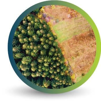
Transforming earth observation data into knowledge
Providing customised GIS and remote sensing earth observation and monitoring solutions that enable more informed decision making.
Transforming Earth Observation Data Into Knowledge
At Swift Geospatial, we promote the idea that technology enabling the analysis of changes on our planet should be available to all professionals and decision makers. Our goal is to introduce new earth observation solutions to the market that fulfill this objective without imposing a cost that would limit accessibility to a select group of stakeholders. We advocate for open and unrestricted access to geospatial data, ensuring that everyone can benefit from it.
At Swift Geospatial, we promote the idea that technology enabling the analysis of changes on our planet should be available to all professionals and decision makers. Our goal is to introduce new earth observation solutions to the market that fulfill this objective without imposing a cost that would limit accessibility to a select group of stakeholders. We advocate for open and unrestricted access to geospatial data, ensuring that everyone can benefit from it.
OUR PROCESS

Gather Data

Analyze & Interpret Data

Present Data
OUR PROCESS
Gather Data
Analyze & Interpret Data
Present Data
OUR REMOTE SENSING SOLUTIONS


Natural
Forestry

Deforestation
Monitoring

Commercial
Forestry

Mine
Monitoring

Precision
Agriculture
OUR EARTH OBSERVATION TECHNOLOGY


ACTIVE EARTH OBSERVATION & MONITORING PROJECTS

An African Company
With Global Reach

OUR BLOG
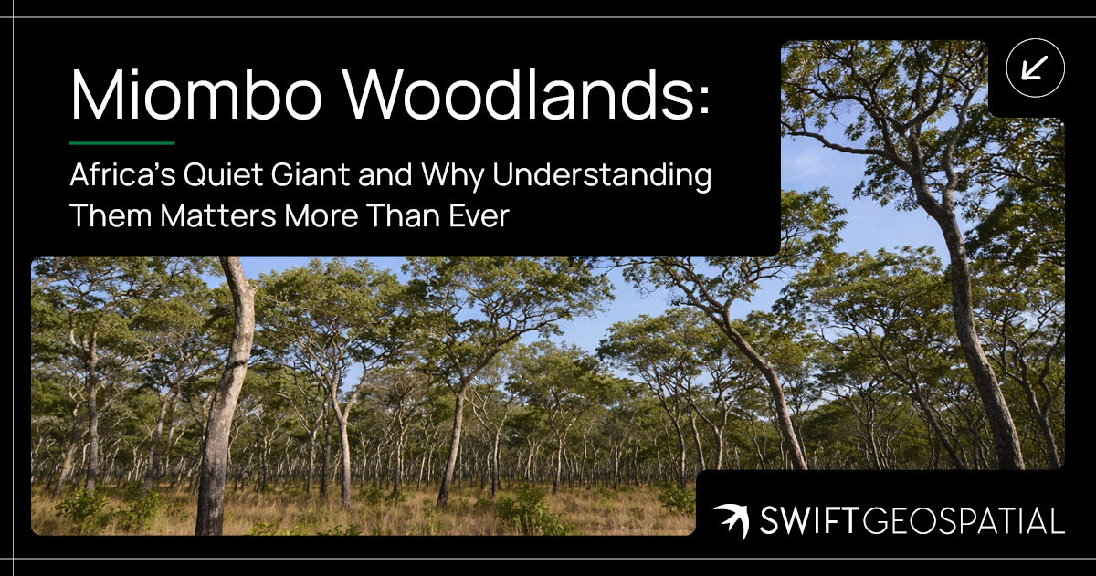
Miombo Woodlands: Africa’s Quiet Giant and Why Understanding Them Matters More Than Ever
The Miombo Woodlands stretch across much of southern and central Africa, quietly supporting biodiversity, livelihoods, and climate balance. Often overlooked, these dry forests hold significant biomass and play a crucial role in carbon storage. Understanding how they function, and how they are changing, is becoming increasingly important as pressure on these ecosystems continues to grow.
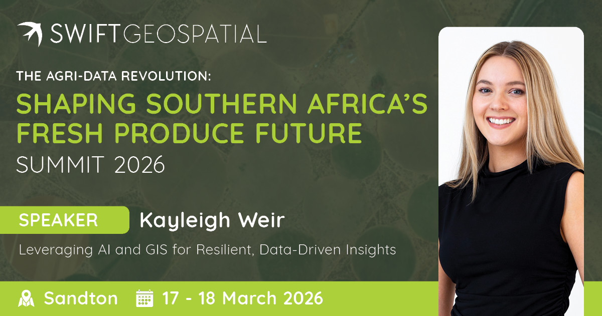
Leveraging AI and GIS for Smarter Agriculture
The Fresh Produce Data & Market Forecasting Summit in Sandton (17–18 March) brings together agricultural leaders, analysts, and technology specialists to explore how data is shaping the future of fresh produce markets. At the conference, Swift Geospatial’s GIS Sales Executive, Kayleigh Weir, will present “Leveraging AI and GIS for Resilient, Data-Driven Insights,” demonstrating how spatial analysis and artificial intelligence help agricultural organisations understand production patterns, anticipate risks, and make smarter decisions across the agricultural value chain.
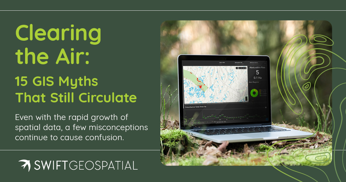
Clearing the Air: GIS Myths That Still Circulate
GIS is more accessible than ever, yet old misconceptions still shape decisions. This article clears up 15 common GIS myths that affect forestry, mining, agriculture, and compliance projects.
OUR PARTNERS

