


Transforming earth observation data into knowledge
Providing customised GIS and remote sensing earth observation and monitoring solutions that enable more informed decision making.
Transforming Earth Observation Data Into Knowledge
At Swift Geospatial, we promote the idea that technology enabling the analysis of changes on our planet should be available to all professionals and decision makers. Our goal is to introduce new earth observation solutions to the market that fulfill this objective without imposing a cost that would limit accessibility to a select group of stakeholders. We advocate for open and unrestricted access to geospatial data, ensuring that everyone can benefit from it.
At Swift Geospatial, we promote the idea that technology enabling the analysis of changes on our planet should be available to all professionals and decision makers. Our goal is to introduce new earth observation solutions to the market that fulfill this objective without imposing a cost that would limit accessibility to a select group of stakeholders. We advocate for open and unrestricted access to geospatial data, ensuring that everyone can benefit from it.
OUR PROCESS

Gather Data

Analyze & Interpret Data

Present Data
OUR PROCESS
Gather Data
Analyze & Interpret Data
Present Data
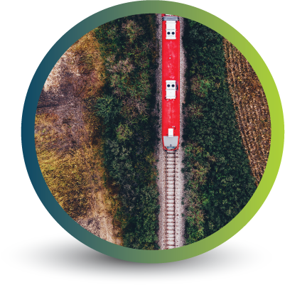
OUR REMOTE SENSING SOLUTIONS


Natural
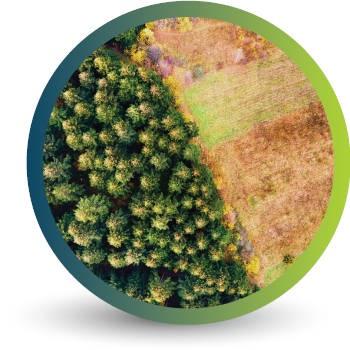
Forestry

Deforestation
Monitoring

Commercial
Forestry

Mine
Monitoring

Precision
Agriculture
OUR EARTH OBSERVATION TECHNOLOGY


ACTIVE EARTH OBSERVATION & MONITORING PROJECTS

An African Company
With Global Reach

OUR BLOG
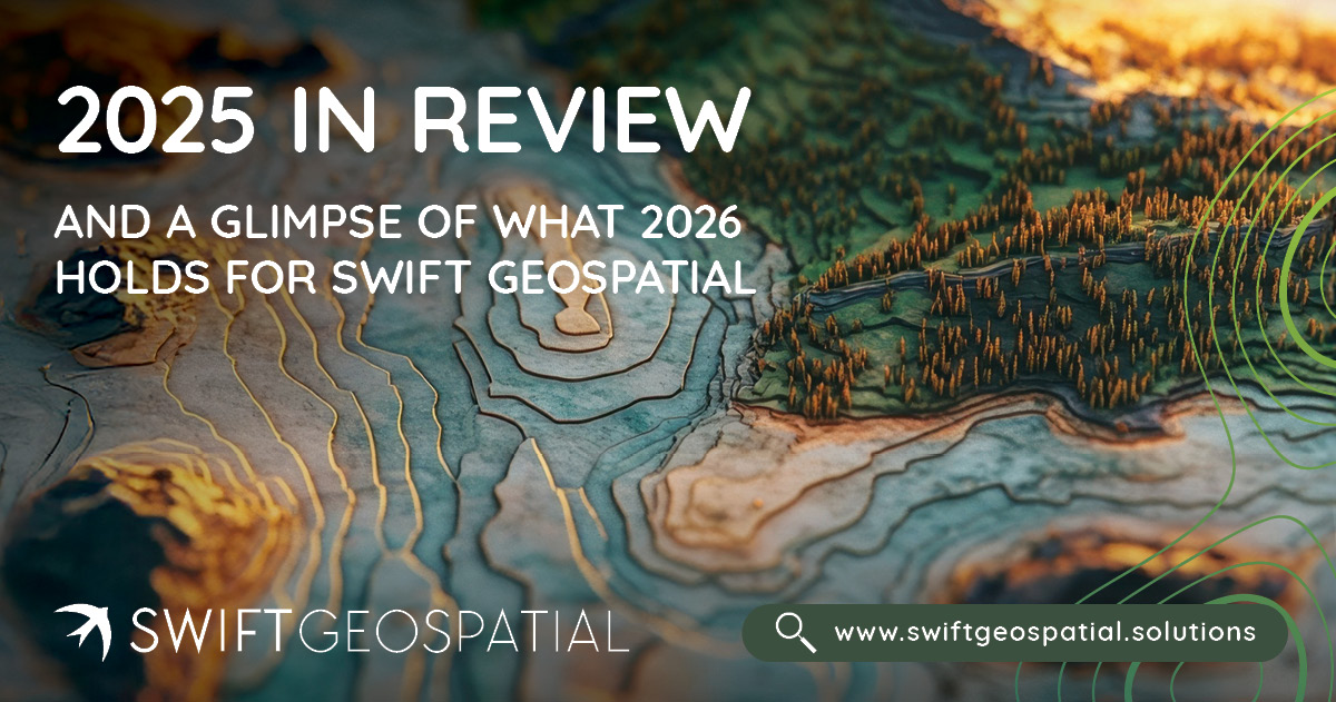
2025 in Review and a Glimpse of What 2026 Holds for Swift Geospatial
2025 brought major shifts to the geospatial world, from new satellite constellations to sharper analytics that changed how organisations manage land, assets, and environmental risk. At Swift Geospatial, it was a year of growth, clearer purpose, and stronger solutions for clients who depend on spatial intelligence. As we move into 2026, we are expanding automation, launching new dashboards, and strengthening support for EUDR and operational monitoring. This year end review reflects on the progress made and offers a look at what’s coming next.
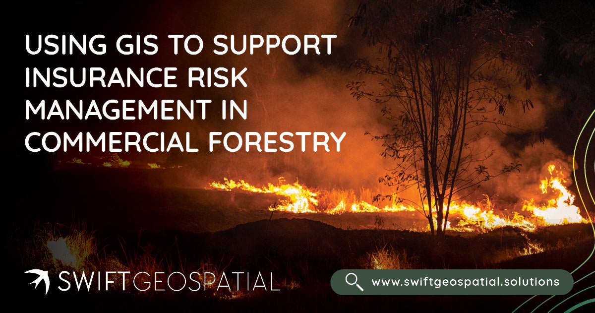
Using GIS to Support Insurance Risk Management in Commercial Forestry
Swift Geospatial helps insurance providers in forestry and agriculture manage wildfire risk with precision. Using GIS and satellite data, we detect fires in near real time, track their spread, and analyze post-fire damage to deliver verified, actionable insights. From detection to claim validation, our integrated wildfire monitoring solutions give insurers complete clarity, faster assessments, and greater confidence in every decision.
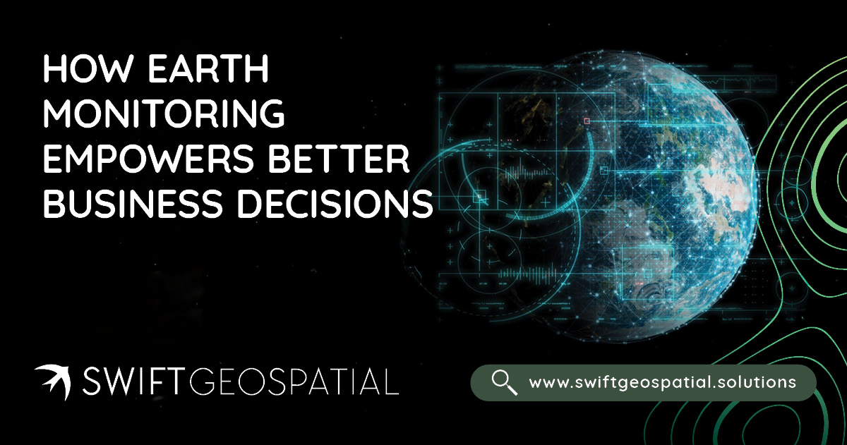
From Satellite to Strategy: How Earth Monitoring Empowers Better Business Decisions
Earth monitoring is transforming how businesses see and understand their world. By combining satellite data from platforms like Planet and Maxar with GIS systems, leaders gain real-time insight into forestry health, agricultural productivity, mining stability, and urban growth. Swift Geospatial turns this spatial intelligence into strategy, helping organisations replace uncertainty with measurable evidence and make smarter, faster decisions that shape the future.
OUR PARTNERS

