


Transforming earth observation data into knowledge
Providing customised GIS and remote sensing earth observation and monitoring solutions that enable more informed decision making.
Transforming Earth Observation Data Into Knowledge
At Swift Geospatial, we promote the idea that technology enabling the analysis of changes on our planet should be available to all professionals and decision makers. Our goal is to introduce new earth observation solutions to the market that fulfill this objective without imposing a cost that would limit accessibility to a select group of stakeholders. We advocate for open and unrestricted access to geospatial data, ensuring that everyone can benefit from it.
At Swift Geospatial, we promote the idea that technology enabling the analysis of changes on our planet should be available to all professionals and decision makers. Our goal is to introduce new earth observation solutions to the market that fulfill this objective without imposing a cost that would limit accessibility to a select group of stakeholders. We advocate for open and unrestricted access to geospatial data, ensuring that everyone can benefit from it.
OUR PROCESS

Gather Data

Analyze & Interpret Data

Present Data
OUR PROCESS
Gather Data
Analyze & Interpret Data
Present Data
OUR REMOTE SENSING SOLUTIONS
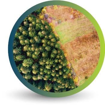


Natural
Forestry

Deforestation
Monitoring

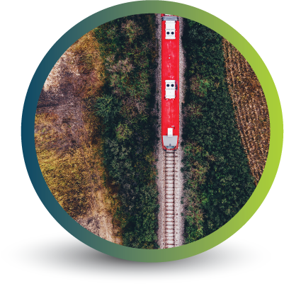
Commercial
Forestry

Mine
Monitoring

Precision
Agriculture
OUR EARTH OBSERVATION TECHNOLOGY


ACTIVE EARTH OBSERVATION & MONITORING PROJECTS

An African Company
With Global Reach

OUR BLOG
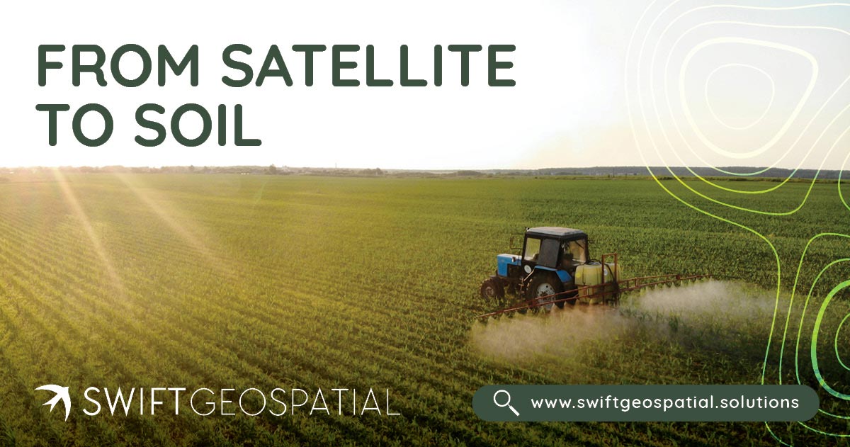
From Satellite to Soil: How Remote Sensing Supports Smarter Agriculture
From monitoring crop health and managing scarce water to tracking pests, forecasting yields, and proving sustainability, satellites are reshaping agriculture. With daily coverage from the Planet Dove constellation, ultra-detailed imagery from Maxar, and Swift Geospatial’s GIS expertise, farmers gain insights that were once impossible to imagine. Remote sensing is bridging the gap between space and soil, creating smarter, more resilient, and more sustainable farming practices worldwide.
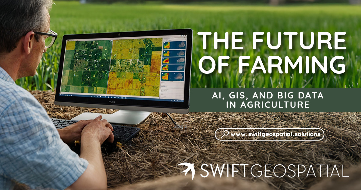
The Future of Farming: AI, GIS, and Big Data in Agriculture
Agriculture in South Africa is changing fast. Farmers are moving beyond tradition and using GIS, AI, and satellite imagery to guide smarter decisions. From maize in the Free State to citrus in Limpopo and avocados in Mpumalanga, precision agriculture is helping producers adapt to climate change, cut costs, and improve yields. This article explores how Big Data, crop monitoring, and bespoke GIS solutions are shaping the future of farming across South Africa and the wider African continent.
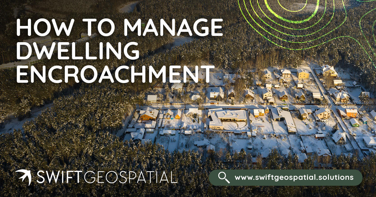
How to Manage Dwelling Encroachment
Learn how to detect and prevent unauthorised settlement growth in South Africa using GIS-based monitoring. Discover how baseline mapping, automated change detection, and satellite imagery help protect infrastructure, sensitive land, and communities.
OUR PARTNERS

