


Transforming earth observation data into knowledge
Providing customised GIS and remote sensing earth observation and monitoring solutions that enable more informed decision making.
Transforming Earth Observation Data Into Knowledge
At Swift Geospatial, we promote the idea that technology enabling the analysis of changes on our planet should be available to all professionals and decision makers. Our goal is to introduce new earth observation solutions to the market that fulfill this objective without imposing a cost that would limit accessibility to a select group of stakeholders. We advocate for open and unrestricted access to geospatial data, ensuring that everyone can benefit from it.
At Swift Geospatial, we promote the idea that technology enabling the analysis of changes on our planet should be available to all professionals and decision makers. Our goal is to introduce new earth observation solutions to the market that fulfill this objective without imposing a cost that would limit accessibility to a select group of stakeholders. We advocate for open and unrestricted access to geospatial data, ensuring that everyone can benefit from it.
OUR PROCESS

Gather Data

Analyze & Interpret Data

Present Data
OUR PROCESS
Gather Data
Analyze & Interpret Data
Present Data
OUR REMOTE SENSING SOLUTIONS


Natural
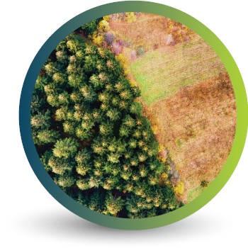
Forestry

Deforestation
Monitoring

Commercial
Forestry

Mine
Monitoring

Precision
Agriculture
OUR EARTH OBSERVATION TECHNOLOGY


ACTIVE EARTH OBSERVATION & MONITORING PROJECTS

An African Company
With Global Reach

OUR BLOG

Monitoring Illegal Mining: Stopping Losses Before They Escalate
Swift Geospatial combines Planet’s daily 3m satellite imagery with advanced change detection technology to deliver near real-time monitoring of illegal mining. This solution enables early detection, rapid response, and reliable evidence for enforcement, protecting resources, reducing environmental damage, and cutting financial losses. Scalable for single sites to national coverage, it provides security companies, mining operators, and government agencies with the actionable intelligence needed to prevent illegal operations before they escalate.
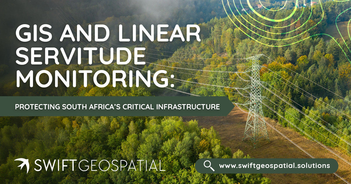
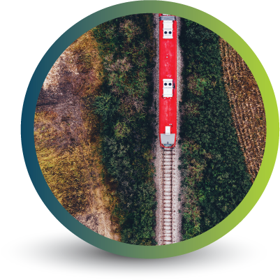
GIS and Linear Servitude Monitoring: Protecting South Africa’s Critical Infrastructure
Encroachment into linear servitudes is a growing risk for South African infrastructure. Swift Geospatial’s GIS monitoring solutions help detect unauthorised activity early, maintain legal compliance, and protect critical assets across powerlines, pipelines, railways, and fiber networks.

Urban Tree Counting
Urban tree count is becoming essential for modern cities. This article explains how GIS and satellite imagery help track, monitor and manage urban forests at scale.
OUR PARTNERS

