Welcome to our Remote Sensing and GIS Blog.
Welcome to the Swift Geospatial Earth Observation Blog – your go-to space for insights into the ever-evolving world of geospatial technology. This earth observation blog is designed to bring clarity and understanding to the current issues shaping the fields of GIS, satellite imagery, and the practical applications of Earth monitoring.
Whether you’re a seasoned professional or just starting out, our earth observation blog will explore the tools, trends, and techniques that are changing how we see, analyse, and respond to the world around us.
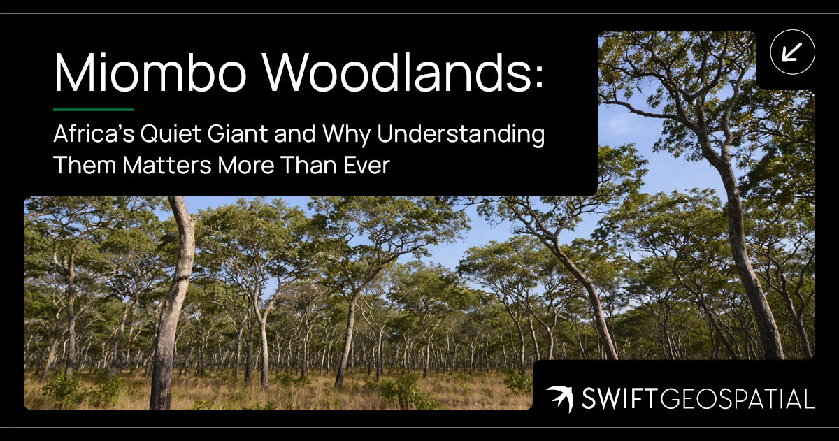
Miombo Woodlands: Africa’s Quiet Giant and Why Understanding Them Matters More Than Ever
The Miombo Woodlands stretch across much of southern and central Africa, quietly supporting biodiversity, livelihoods, and climate balance. Often overlooked, these dry forests hold significant biomass and play a crucial role in carbon storage. Understanding how they function, and how they are changing, is becoming increasingly important as pressure on these ecosystems continues to grow.
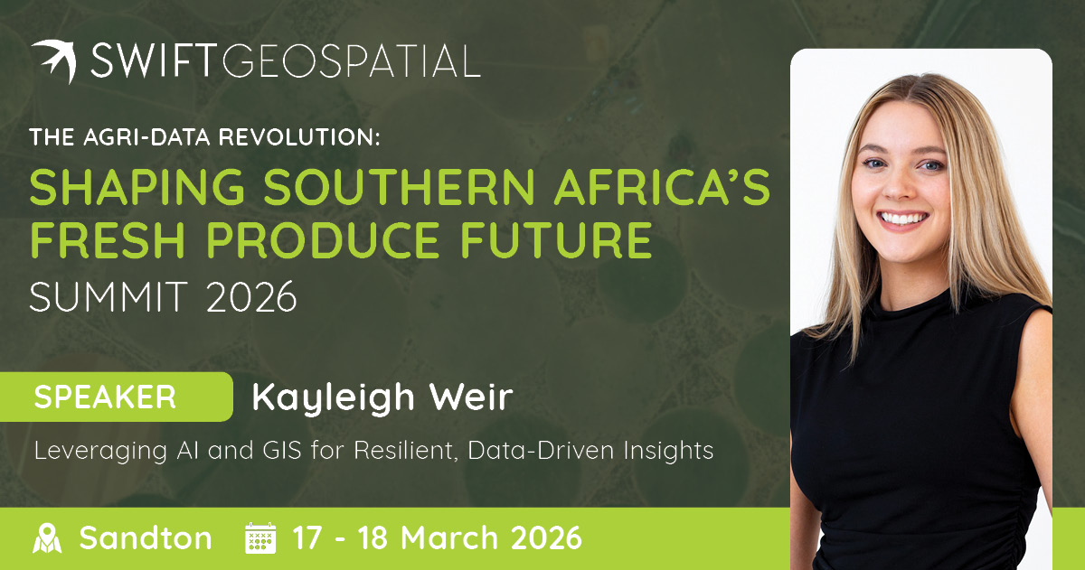
Leveraging AI and GIS for Smarter Agriculture
The Fresh Produce Data & Market Forecasting Summit in Sandton (17–18 March) brings together agricultural leaders, analysts, and technology specialists to explore how data is shaping the future of fresh produce markets. At the conference, Swift Geospatial’s GIS Sales Executive, Kayleigh Weir, will present “Leveraging AI and GIS for Resilient, Data-Driven Insights,” demonstrating how spatial analysis and artificial intelligence help agricultural organisations understand production patterns, anticipate risks, and make smarter decisions across the agricultural value chain.
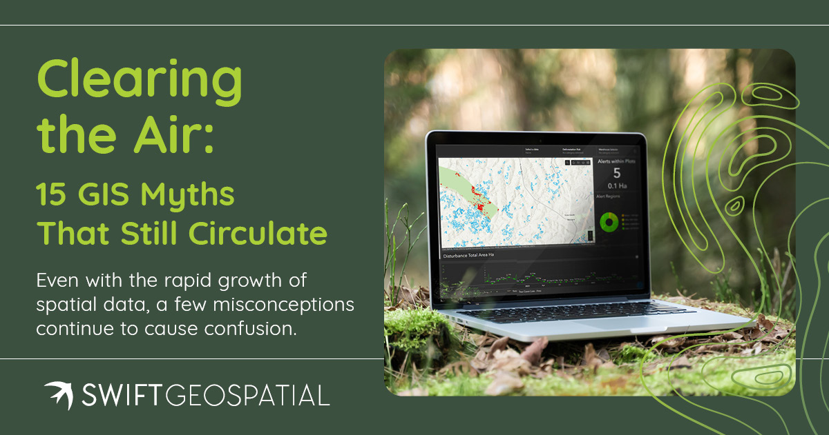
Clearing the Air: GIS Myths That Still Circulate
GIS is more accessible than ever, yet old misconceptions still shape decisions. This article clears up 15 common GIS myths that affect forestry, mining, agriculture, and compliance projects.
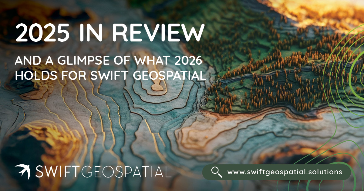
2025 in Review and a Glimpse of What 2026 Holds for Swift Geospatial
2025 brought major shifts to the geospatial world, from new satellite constellations to sharper analytics that changed how organisations manage land, assets, and environmental risk. At Swift Geospatial, it was a year of growth, clearer purpose, and stronger solutions for clients who depend on spatial intelligence. As we move into 2026, we are expanding automation, launching new dashboards, and strengthening support for EUDR and operational monitoring. This year end review reflects on the progress made and offers a look at what’s coming next.
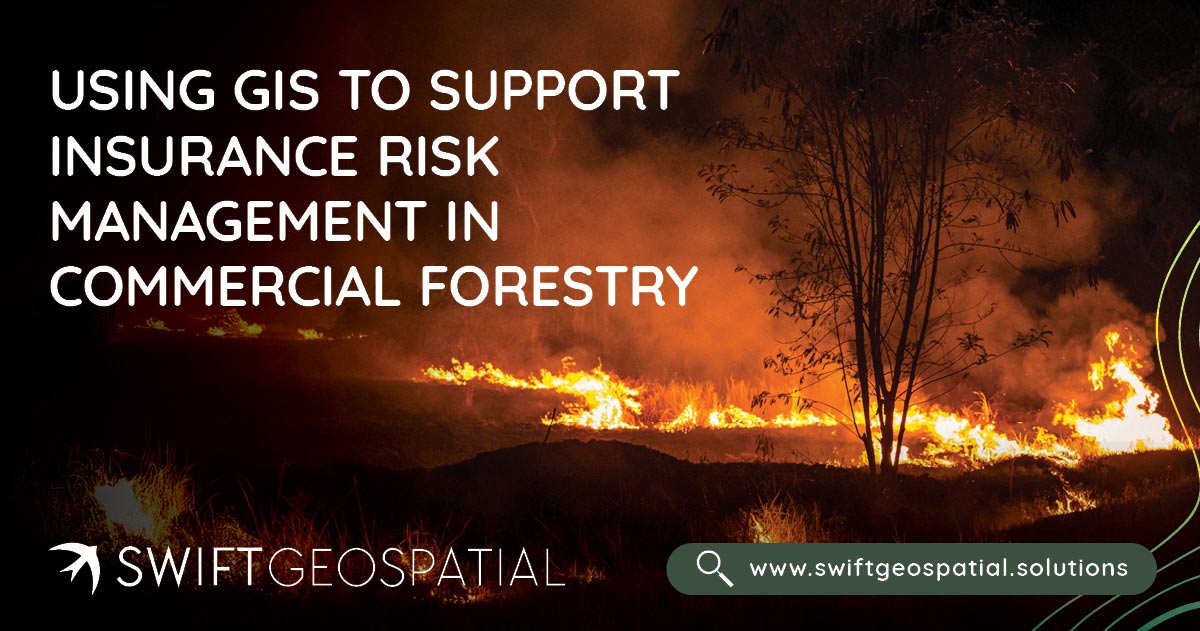
Using GIS to Support Insurance Risk Management in Commercial Forestry
Swift Geospatial helps insurance providers in forestry and agriculture manage wildfire risk with precision. Using GIS and satellite data, we detect fires in near real time, track their spread, and analyze post-fire damage to deliver verified, actionable insights. From detection to claim validation, our integrated wildfire monitoring solutions give insurers complete clarity, faster assessments, and greater confidence in every decision.
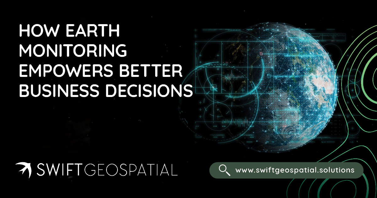
From Satellite to Strategy: How Earth Monitoring Empowers Better Business Decisions
Earth monitoring is transforming how businesses see and understand their world. By combining satellite data from platforms like Planet and Maxar with GIS systems, leaders gain real-time insight into forestry health, agricultural productivity, mining stability, and urban growth. Swift Geospatial turns this spatial intelligence into strategy, helping organisations replace uncertainty with measurable evidence and make smarter, faster decisions that shape the future.
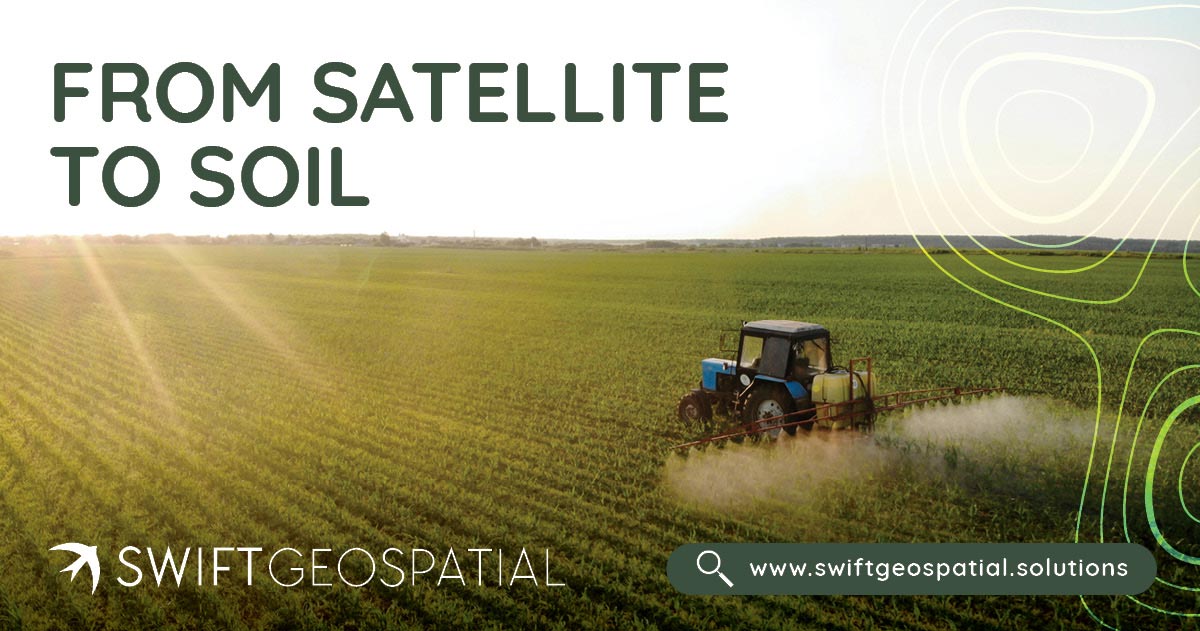
From Satellite to Soil: How Remote Sensing Supports Smarter Agriculture
From monitoring crop health and managing scarce water to tracking pests, forecasting yields, and proving sustainability, satellites are reshaping agriculture. With daily coverage from the Planet Dove constellation, ultra-detailed imagery from Maxar, and Swift Geospatial’s GIS expertise, farmers gain insights that were once impossible to imagine. Remote sensing is bridging the gap between space and soil, creating smarter, more resilient, and more sustainable farming practices worldwide.
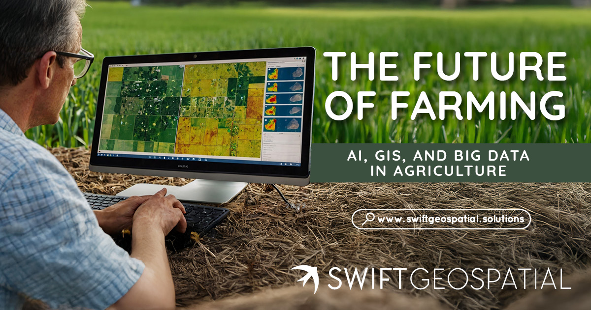
The Future of Farming: AI, GIS, and Big Data in Agriculture
Agriculture in South Africa is changing fast. Farmers are moving beyond tradition and using GIS, AI, and satellite imagery to guide smarter decisions. From maize in the Free State to citrus in Limpopo and avocados in Mpumalanga, precision agriculture is helping producers adapt to climate change, cut costs, and improve yields. This article explores how Big Data, crop monitoring, and bespoke GIS solutions are shaping the future of farming across South Africa and the wider African continent.
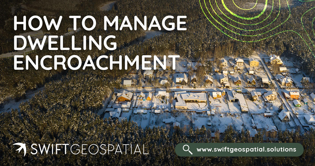
How to Manage Dwelling Encroachment
Learn how to detect and prevent unauthorised settlement growth in South Africa using GIS-based monitoring. Discover how baseline mapping, automated change detection, and satellite imagery help protect infrastructure, sensitive land, and communities.