Precision Agriculture & Farming

Precision Agriculture & Farming
Precision Agriculture Solutions Powered by Satellite Intelligence
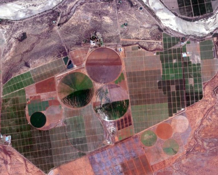
At Swift Geospatial, we help farmers, agronomists, and agri-businesses unlock the full potential of their land through advanced satellite imagery and precision mapping. Our geospatial solutions provide timely, actionable insights to improve crop performance, reduce input costs, and enhance long-term sustainability.
By transforming high-resolution imagery into farm-level intelligence, we enable data-driven decisions across planting, irrigation, fertilization, and harvesting cycles. Whether you are managing a single field or thousands of hectares, our tools adapt to your needs.
From multispectral analysis to vegetation indexing, Swift Geospatial gives you a clear view of what is happening on the ground. This clarity helps you act faster, farm smarter, and grow with confidence.

Avocados

Nuts

Sugar Cane

Grain

Citrus

Range Land
Modern satellite technology and processing algorithms mean that satellite data provides near real time analytics tailored to the agricultural industry, leading to actionable information in the hands of farm management when it’s needed most.
Through Earth Observation, Swift Geospatial is able to remotely monitor your agriculture fields for:
- Crop health
- Crop yield forecasting
- Remote field assessment
- Disaster
- Field stress identification
- Pest identification
Whilst providing you with the latest imagery and alerts, all through an online web-portal.
Partners in Precision

Partners in Precision

How it Works
Proactive earth observation and monitoring of agriculture for a multitude of farm management purposes is now possible through the latest satellite information and high speed computing systems making use of the latest GIS software. Swift Geospatial has designed and implemented an online precision agriculture portal which delivers the results of these analyses, meaning insight from larger regional areas to finer in-field sections are now available anywhere in the world, at any time of the day.
The Power Of Satellite Imagery


Imagery is a powerful precision agriculture tool for remote field assessments post claim
The above swipe tool represents a colour image on the left and a NDVI image on the right, this images represent a tobacco field and the NDVI image clearing shows the health of this plantation.
RGB View

Water Stress

Health Stress
The first image in the series above is what the naked eye can see. Through GIS and multi-spectral band manipulation Swift Geospatial is able to generate actionable, proactive monitoring to assist in farm management best practice.
Online Platform
")
Online Platform
24 Hour access to your custom designed online platform for graphical result display and decision support
Outputs
- UAV ultra-high resolution imagery field assessments/analysis
- Satellite based high resolution imagery field assessments/analysis
- Post claim analysis
- Remote desktop field assessments
- Claim assistance
- Fraud detection
- Online web-application
