Precision Forestry
Commercial Forestry Monitoring
Precision forestry is the technical term for concise forest management techniques that make use of modern GIS software and satellite imagery technology to collect, process and present data that allows foresters and plantation owners to make informed decisions for site-specific, economic, environmental, and sustainable actions along the forestry value chain.

Introducing our Comprehensive Online Precision Forestry Monitoring Platform
Swift Geospatial utilizes GIS to monitor commercial forestry across the globe. With high quality, time stamped collected satellite date our solutions provide clients with data such as harvesting tracking and tree health. With compartment monitoring you can measure harvesting volume enabling you to verify that the correct compartment is undergoing harvesting. With the added benefit of illegal harvesting detection and disaster data information such as fire spread and post fire damage assessment.
Remote monitoring solutions can indicate tree health and stress level, mitigating risk and optimising growth whilst providing a comprehensive view of your entire forestry plantation.
Monitoring can occur on a daily, weekly, bi-weekly, or monthly interval.
The use of remotely captured and tasked satellite imagery assists in-field observations and manual management methods which can potentially become health and safety risks. Remote forestry monitoring services can be combined with drone/UAVs to supplement imaging.


Analysis Includes
• Compartment Health Level
• Compartment Stress Level
• Harvesting Detection and Tracking

Product Delivery
• Custom-Built Online Web Applications & Dashboards
• Secure Login Details
• REST API Access
Give your business the decision support it needs to grow
Enhanced decision-making in forestry is supported by a range of analytical and data integration tools that improve both strategic oversight and operational execution. One of the key benefits is ensuring legal compliance by enabling stakeholders to monitor activities against regulatory frameworks.
These tools also support detailed assessments of forest health, offering early detection of stress indicators. Remote sensing and satellite imagery allow for the identification of fire spread and damage, making rapid response possible. In planning, they assist with the optimization of harvest operations through better understanding of biomass distribution and access routes. Detection of pests and disease is made more accurate through spectral analysis, allowing for targeted intervention.
Visualization tools also play a crucial role, transforming raw data into intuitive maps and dashboards that aid communication and decision-making. Importantly, these insights are strengthened by integrating diverse data sources, including climate records, field surveys and sensor networks, creating a comprehensive and actionable view of forestry landscapes.

Take control of your forest management
Stress Detection
Tree Height

Tree Health
Site Species Matching Tool
Woodlot Volume

Precision Forestry Monitoring has a significant impact on decision-making for plantation owners by transforming how they manage risk, plan operations, and allocate resources. With access to real-time and historical data on factors such as tree health, soil moisture, pest activity and fire threats, owners can make informed choices grounded in evidence rather than assumptions.
This level of insight allows you to detect issues early, respond quickly to changing conditions, and prioritize interventions where they will have the greatest impact.
Partners in Precision
Partners in Precision

How it Works
Making use of the latest satellite and cloud technology, Swift Geospatial is able to remotely monitor forestry plantations for tree health, harvesting progress and fire break status. Satellite data is fed into our custom cloud processing engine and the results are delivered to the cloud platform in near real time. This solution offers the quickest and most cost-effective solution to monitoring forestry plantations of any size.
Swift Geospatial has designed and implemented an online portal capable of providing a proactive forestry monitoring solution for forestry plantations. This is achieved by using the latest high resolution multispectral satellite imagery and cloud processing technology.
The monitoring results can be generated and delivered at a frequency that suits the business operation and budget. This can be quarterly, monthly, weekly or even now daily. With dynamic cloud-based processing, our solutions can scale from one compartment to an entire plantation covering many thousands of square kilometres.


The above images represent an NDVI image on the left and an RGB colour image on the right. This NDVI image represents the plantation health with dark orange showing healthy plantations and blue bare earth. The analysis through our custom models are then transformed into health status, harvesting status and fire break analysis for the forest manager to aid in tracking of the plantation and decision support
The above images represent an NDVI image on the left and an RGB colour image on the right. This NDVI image represents the plantation health with dark orange showing healthy plantations and blue bare earth. The analysis through our custom models are then transformed into health status, harvesting status and fire break analysis for the forest manager to aid in tracking of the plantation and decision support
Customised Monitoring Solutions
Swift Geospatial’s Forestry Platform empowers you with customisable monitoring tools tailored to your operational needs. Begin with complimentary access to our core modules, offering near-real-time satellite imagery, rapid analytics, and a robust collection of geographic and administrative datasets. From canopy cover and density analysis to fire detection, tree height, and above-ground biomass estimation, our platform equips you with precision insights. Enhance your forestry strategy with bespoke vegetation indices and detailed compartment mapping, all designed to scale with your unique forestry environment.
Above Ground Biomass Estimation
Canopy Cover & Density Analysis
Custom Vegetation Indices
Forestry Compartment Mapping & Delineation
Tree Count
Tree Height
Fire Detection & Tracking
Enjoy our latest earth and forestry monitoring blog posts
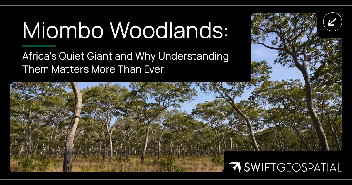
Miombo Woodlands: Africa’s Quiet Giant and Why Understanding Them Matters More Than Ever
The Miombo Woodlands stretch across much of southern and central Africa, quietly supporting biodiversity, livelihoods, and climate balance. Often overlooked, these dry forests hold significant biomass and play a crucial role in carbon storage. Understanding how they function, and how they are changing, is becoming increasingly important as pressure on these ecosystems continues to grow.
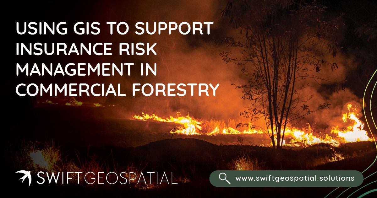
Using GIS to Support Insurance Risk Management in Commercial Forestry
Swift Geospatial helps insurance providers in forestry and agriculture manage wildfire risk with precision. Using GIS and satellite data, we detect fires in near real time, track their spread, and analyze post-fire damage to deliver verified, actionable insights. From detection to claim validation, our integrated wildfire monitoring solutions give insurers complete clarity, faster assessments, and greater confidence in every decision.

Urban Tree Counting
Urban tree count is becoming essential for modern cities. This article explains how GIS and satellite imagery help track, monitor and manage urban forests at scale.
If your business is looking to save time on monitoring your forests and plantations through a concise, online, dashboard driven all-in-one precision forestry monitoring program.