


Transforming earth observation data into knowledge
Providing customised GIS and remote sensing earth observation and monitoring solutions that enable more informed decision making.
Transforming Earth Observation Data Into Knowledge
At Swift Geospatial, we promote the idea that technology enabling the analysis of changes on our planet should be available to all professionals and decision makers. Our goal is to introduce new earth observation solutions to the market that fulfill this objective without imposing a cost that would limit accessibility to a select group of stakeholders. We advocate for open and unrestricted access to geospatial data, ensuring that everyone can benefit from it.
At Swift Geospatial, we promote the idea that technology enabling the analysis of changes on our planet should be available to all professionals and decision makers. Our goal is to introduce new earth observation solutions to the market that fulfill this objective without imposing a cost that would limit accessibility to a select group of stakeholders. We advocate for open and unrestricted access to geospatial data, ensuring that everyone can benefit from it.
OUR PROCESS

Gather Data

Analyze & Interpret Data

Present Data
OUR PROCESS
Gather Data
Analyze & Interpret Data
Present Data
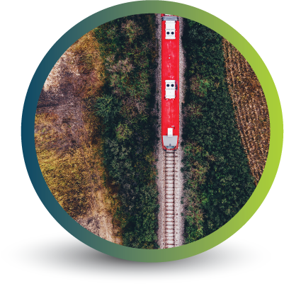
OUR REMOTE SENSING SOLUTIONS
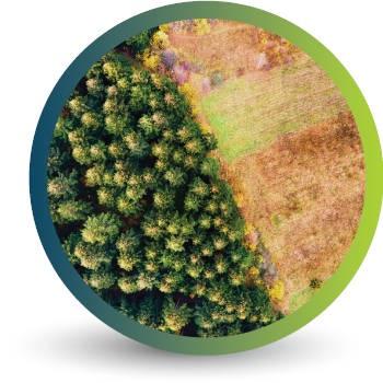


Natural
Forestry

Deforestation
Monitoring

Commercial
Forestry

Mine
Monitoring

Precision
Agriculture
OUR EARTH OBSERVATION TECHNOLOGY


ACTIVE EARTH OBSERVATION & MONITORING PROJECTS

An African Company
With Global Reach

OUR BLOG

Silviculture and Forestry Monitoring: Using Earth Observation to Shape the Future of Commercial Forestry
Silviculture is essential to commercial forestry, but when paired with Earth Observation and GIS, it becomes a powerful tool for precision forestry monitoring and sustainable forest management. Swift Geospatial helps forestry teams make better decisions, track regeneration, and ensure long-term forest health across Africa. Let me know if you'd like a shorter version for newsletter previews or social sharing.

Commercial Forestry in Africa
Africa’s commercial forestry sector supports rural livelihoods, drives exports, and promotes sustainable land use. With growing global demand for certified timber, effective monitoring is essential. Swift Geospatial provides satellite and GIS-based tools to help forestry managers track growth, assess forest health, and optimise operations, ensuring plantations remain productive, sustainable, and competitive.

GEO Global Forum 2025
We’re proud to share that Michael Breetzke is representing South Africa as part of the official delegation at the GEO Global Forum 2025 in Rome, and will be speaking during Thursday’s GEO-20 Plenary – Session 7: Strengthening Private Sector Engagement to Deliver on GEO’s Vision.
OUR PARTNERS

