Silviculture and Forestry Monitoring: Using Earth Observation to Shape the Future of Commercial Forestry
Silviculture is essential to commercial forestry, but when paired with Earth Observation and GIS, it becomes a powerful tool for precision forestry monitoring and sustainable forest management. Swift Geospatial helps forestry teams make better decisions, track regeneration, and ensure long-term forest health across Africa.
Let me know if you'd like a shorter version for newsletter previews or social sharing.
Categories:
Date Posted:
May 22, 2025
Using Earth Observation to Shape the Future of Commercial Forestry
Silviculture, often referred to as the art and science of forest cultivation, plays a central role in shaping resilient, productive commercial forests. It combines deep ecological understanding with practical interventions aimed at ensuring the long-term health and sustainability of tree stands. At Swift Geospatial, we elevate this process by integrating advanced Earth Observation tools, allowing commercial forestry operators to monitor, measure, and manage their landscapes with unprecedented clarity and confidence.
Forestry monitoring today requires more than field visits and manual checks. Through silviculture, and with the aid of geospatial intelligence, commercial forest managers are now equipped to implement precise, informed actions at every stage of the forestry lifecycle. From regeneration to thinning, from stand establishment to ongoing health assessments, modern forestry depends on robust data and thoughtful stewardship.

Why Silviculture Still Matters
At its core, silviculture is about guiding forest ecosystems to meet both ecological and commercial goals. This begins with understanding the biology of trees, their interaction with climate and soil, and the broader dynamics of forest regeneration and disturbance. Silviculture encompasses essential practices such as planting, thinning, pruning, fertilising, and harvesting, all aimed at fostering healthy, high-value forests.
The key to its success lies in balancing the commercial imperative of timber production with the long-term health of the ecosystem. Silvicultural techniques adapt to the unique conditions of each forest—considering species composition, terrain, climate variability, and market demand—while embracing practices that increase forest diversity, structural complexity, and resilience to stress.


Establishing and Tending New Forests
The process of stand establishment begins long before a seedling touches the soil. It requires clearing unwanted vegetation, preparing the land, improving soil conditions, and then introducing the right tree species, either through manual planting or encouraging natural regeneration. Choosing the right species is a science in itself, influenced by the specific needs of the land, climate, and commercial objectives.
Swift Geospatial supports this phase through intelligent platforms like the GFP Site Species Matching Tool, which allows users to factor in soil types, rainfall data, slope, and regional conditions to optimise species selection for long-term growth and sustainability.
Once trees are planted, stand tending becomes essential. This includes pruning lower branches to improve timber quality, weeding to eliminate competition for nutrients and sunlight, fertilising to boost growth, and most importantly, thinning. Thinning refers to the selective removal of trees to reduce overcrowding, allowing remaining trees to flourish. When done correctly, it enhances not just growth rates, but also biodiversity and structural integrity. Our geospatial systems enable forestry managers to visualise canopy density and identify where thinning or other interventions may be needed, all from a centralised platform.

Regeneration, Reforestation and Deforestation Prevention
A forest is only as sustainable as its ability to regenerate. Regeneration is both a natural process and a human-guided effort. Where natural seed dispersal and growth occur naturally, forestry managers may support it by creating conditions that favour germination and protect young saplings from competition. In other cases, especially after disturbances such as fires or disease outbreaks, direct planting or mechanical seeding may be required to restart the growth cycle.
Swift Geospatial plays a critical role in this phase by using satellite imagery and GIS tools to track regeneration success, identify underperforming areas, and help plan corrective action. These tools also support reforestation and afforestation efforts, particularly in regions where deforestation has degraded the land. By pinpointing exactly where and how to intervene, forest managers can restore landscapes more effectively, while aligning their practices with sustainability goals.

Monitoring Forest Health and Managing Risk
Healthy forests depend on proactive management, and this is where forestry monitoring comes into its own. By tracking tree health indicators such as chlorophyll levels, canopy density, and growth trends, Swift Geospatial enables foresters to detect stress early—whether from disease, pest infestations, nutrient deficiencies, or drought.
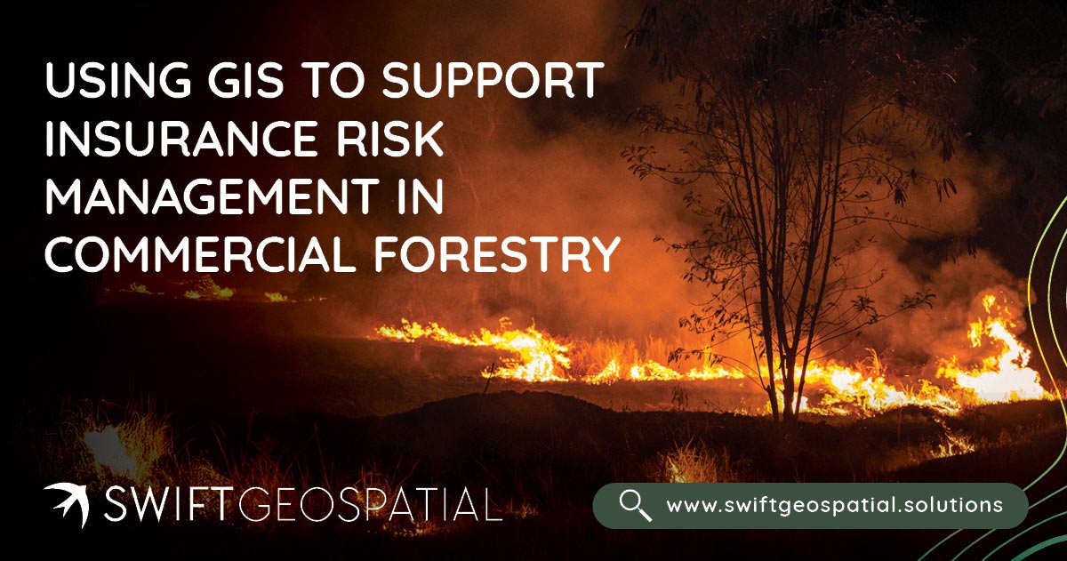
Forest health management also includes planning for fire risks through controlled burns, creating firebreaks, and promoting awareness around fire safety. Our precision monitoring software delivers accurate compartment-level assessments, allowing users to quickly understand which sections of a forest may be underperforming or at risk. This insight informs targeted responses that save time, reduce waste, and preserve long-term value.
Pest outbreaks, invasive species, and plant disease can decimate forests if not caught early. Through Earth Observation and consistent monitoring, these threats can be identified well before they become widespread, allowing forestry managers to act quickly and limit damage.

Continuous Cover Forestry and Ecological Balance
One of the more advanced practices within modern silviculture is Continuous Cover Forestry (CCF), an approach that maintains a permanent forest canopy by selectively harvesting trees instead of clear-cutting entire areas. This method promotes ecological stability and supports habitat diversity by mimicking the natural cycle of forest succession. By keeping young, mature, and regenerating trees growing side by side, CCF not only preserves the landscape visually but also contributes to long-term biodiversity and soil health.
Earth Observation provides invaluable support here, offering data-driven insights into age-class distribution, species variation, and the structural complexity of the canopy. Selective harvesting decisions can now be based on objective, high-resolution imagery rather than subjective field estimates.

A Smarter Future for Commercial Forestry
Silviculture is no longer a standalone practice—it thrives when paired with real-time data and dynamic geospatial insights. At Swift Geospatial, we empower commercial forestry clients with the tools to monitor forests at every stage of the lifecycle, from planting to harvest, regeneration to risk mitigation.
With the increasing importance of sustainable land use, carbon capture, and climate resilience, the value of combining forestry monitoring with Earth Observation has never been greater. Our geospatial platforms allow decision-makers to measure progress, identify inefficiencies, and plan long-term strategies that balance profitability with ecological responsibility.
Conclusion
Silviculture remains the foundation of responsible commercial forestry, but in a world shaped by technology and environmental change, it must evolve. By incorporating satellite imagery, GIS tools, and integrated data analysis into everyday forest management, Swift Geospatial is helping transform how forests are grown, maintained, and protected.
From the careful selection of species to the strategic timing of harvests, from forest health tracking to long-term regeneration planning, we ensure that our clients can manage their assets with confidence. In this new era of forestry, data is not just helpful—it’s essential. And when data meets care, precision, and science, forests thrive.