


Transforming earth observation data into knowledge
Providing customised GIS and remote sensing earth observation and monitoring solutions that enable more informed decision making.
Transforming Earth Observation Data Into Knowledge
At Swift Geospatial, we promote the idea that technology enabling the analysis of changes on our planet should be available to all professionals and decision makers. Our goal is to introduce new earth observation solutions to the market that fulfill this objective without imposing a cost that would limit accessibility to a select group of stakeholders. We advocate for open and unrestricted access to geospatial data, ensuring that everyone can benefit from it.
At Swift Geospatial, we promote the idea that technology enabling the analysis of changes on our planet should be available to all professionals and decision makers. Our goal is to introduce new earth observation solutions to the market that fulfill this objective without imposing a cost that would limit accessibility to a select group of stakeholders. We advocate for open and unrestricted access to geospatial data, ensuring that everyone can benefit from it.
OUR PROCESS

Gather Data

Analyze & Interpret Data

Present Data
OUR PROCESS
Gather Data
Analyze & Interpret Data
Present Data
OUR REMOTE SENSING SOLUTIONS


Natural
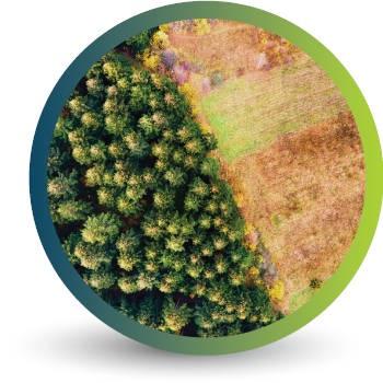
Forestry

Deforestation
Monitoring

Commercial
Forestry

Mine
Monitoring

Precision
Agriculture
OUR EARTH OBSERVATION TECHNOLOGY


ACTIVE EARTH OBSERVATION & MONITORING PROJECTS

An African Company
With Global Reach

OUR BLOG

Watching the Wall: Why Tailings Storage Facility Monitoring Can’t Be an Afterthought
Tailings Storage Facilities (TSFs) are among the most critical, and potentially dangerous, structures in mining. With several major disasters in recent history, mine owners must prioritise TSF monitoring to protect lives, land, and operations. In this post, Swift Geospatial explores how satellite technology provides a smarter, safer, and more cost-effective alternative to traditional aerial flyovers, delivering early warnings and consistent data, no matter how remote the site.
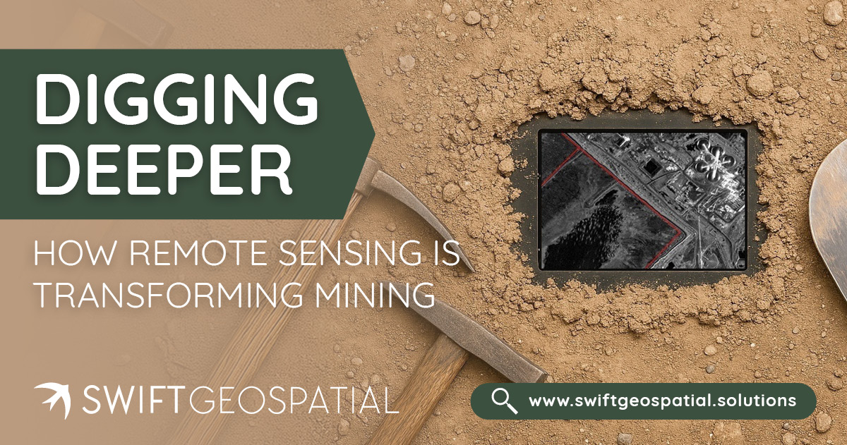
Digging Deeper: How Remote Sensing Is Transforming Mining
Remote sensing for mining has reshaped how mine owners manage exploration, safety, and sustainability. From detecting illegal mining activity to monitoring environmental compliance and pit expansion, satellite data and geospatial analysis offer unparalleled visibility, without ever setting foot on site. Learn how Swift Geospatial helps mining operations across Africa stay compliant, efficient, and ahead of the curve.

The Basics of Spectral Bands: NIR, SWIR, and RGB
Understanding spectral bands like NIR, SWIR, and RGB is essential for making the most of satellite imagery. While RGB provides true-color visuals, NIR is crucial for vegetation analysis, and SWIR helps with mineral mapping and wildfire monitoring. Learn how these bands work together to offer deeper insights into Earth's surface and environmental changes.
OUR PARTNERS

