


Transforming earth observation data into knowledge
Providing customised GIS and remote sensing earth observation and monitoring solutions that enable more informed decision making.
Transforming Earth Observation Data Into Knowledge
At Swift Geospatial, we promote the idea that technology enabling the analysis of changes on our planet should be available to all professionals and decision makers. Our goal is to introduce new earth observation solutions to the market that fulfill this objective without imposing a cost that would limit accessibility to a select group of stakeholders. We advocate for open and unrestricted access to geospatial data, ensuring that everyone can benefit from it.
At Swift Geospatial, we promote the idea that technology enabling the analysis of changes on our planet should be available to all professionals and decision makers. Our goal is to introduce new earth observation solutions to the market that fulfill this objective without imposing a cost that would limit accessibility to a select group of stakeholders. We advocate for open and unrestricted access to geospatial data, ensuring that everyone can benefit from it.
OUR PROCESS

Gather Data

Analyze & Interpret Data

Present Data
OUR PROCESS
Gather Data
Analyze & Interpret Data
Present Data
OUR REMOTE SENSING SOLUTIONS
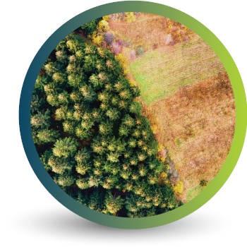

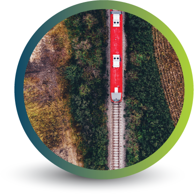

Natural
Forestry

Deforestation
Monitoring

Commercial
Forestry

Mine
Monitoring

Precision
Agriculture
OUR EARTH OBSERVATION TECHNOLOGY


ACTIVE EARTH OBSERVATION & MONITORING PROJECTS

An African Company
With Global Reach

OUR BLOG

How Swift Geospatial Elevates the Mining Industry with Precision Monitoring and Bespoke GIS Solutions
With our expertise in satellite imagery and remote sensing, we offer a range of services that not only streamline day-to-day mining operations but also help companies meet regulatory requirements and reduce their environmental footprint.

Meet us at the Deforestation-Free Summit 2025
Swift Geospatial is excited to participate in the Deforestation-Free Summit 2025, where Co-founder Michael Breetzke will present a case study on successful deforestation monitoring using satellite technology. With the upcoming EU Deforestation Regulation (EUDR), Swift Geospatial is ready to support companies in meeting compliance standards and advancing their sustainability goals.

Wyvern: The Future of Geospatial Intelligence with Advanced Satellite Constellation
We're on the brink of a new era in satellite technology, and the Wyvern Constellation is leading the charge. This groundbreaking advancement is set to revolutionize the way we observe and interact with our planet. Whether it’s tracking environmental changes, boosting agricultural efficiency, managing resources, or enhancing national security, Wyvern's high-resolution data is changing the game.
OUR PARTNERS

