


Transforming earth observation data into knowledge
Providing customised GIS and remote sensing earth observation and monitoring solutions that enable more informed decision making.
Transforming Earth Observation Data Into Knowledge
At Swift Geospatial, we promote the idea that technology enabling the analysis of changes on our planet should be available to all professionals and decision makers. Our goal is to introduce new earth observation solutions to the market that fulfill this objective without imposing a cost that would limit accessibility to a select group of stakeholders. We advocate for open and unrestricted access to geospatial data, ensuring that everyone can benefit from it.
At Swift Geospatial, we promote the idea that technology enabling the analysis of changes on our planet should be available to all professionals and decision makers. Our goal is to introduce new earth observation solutions to the market that fulfill this objective without imposing a cost that would limit accessibility to a select group of stakeholders. We advocate for open and unrestricted access to geospatial data, ensuring that everyone can benefit from it.
OUR PROCESS

Gather Data

Analyze & Interpret Data

Present Data
OUR PROCESS
Gather Data
Analyze & Interpret Data
Present Data
OUR REMOTE SENSING SOLUTIONS
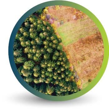


Natural
Forestry

Deforestation
Monitoring

Commercial
Forestry

Mine
Monitoring

Precision
Agriculture
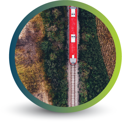
OUR EARTH OBSERVATION TECHNOLOGY


ACTIVE EARTH OBSERVATION & MONITORING PROJECTS

An African Company
With Global Reach

OUR BLOG

The positive impact of precision forestry projects across the globe
Ensuring the most efficient and future-proof forestry monitoring and management processes are in place is fundamental to long-term environmental, economic and social sustainability. Using precision forestry, which focuses on integrating new technology into these processes, is the answer.

The importance of Decision Support Systems (DDS) in forestry management and planning
When it comes to forestry management and planning, the more information you have at your fingertips the better you can get a bird’s-eye view of potential risks, such as climate change and deforestation. However, sifting through this information and understanding how to use different pieces of data for actionable outcomes is even more critical. And that is where Decision Support Systems (DSS) play a vital role.

The Importance of Monitoring Change
Because more and more people are living in cities, this means that cities are growing and changing all the time. To manage this growth, we need to monitor change detection in cities to see what’s happening and what we need to do. Change detection monitoring means comparing pictures of cities taken from satellites or planes at different times to see what has changed, like new buildings, land use changes, or changes in green areas.
OUR PARTNERS

