


Transforming earth observation data into knowledge
Providing customised GIS and remote sensing earth observation and monitoring solutions that enable more informed decision making.
Transforming Earth Observation Data Into Knowledge
At Swift Geospatial, we promote the idea that technology enabling the analysis of changes on our planet should be available to all professionals and decision makers. Our goal is to introduce new earth observation solutions to the market that fulfill this objective without imposing a cost that would limit accessibility to a select group of stakeholders. We advocate for open and unrestricted access to geospatial data, ensuring that everyone can benefit from it.
At Swift Geospatial, we promote the idea that technology enabling the analysis of changes on our planet should be available to all professionals and decision makers. Our goal is to introduce new earth observation solutions to the market that fulfill this objective without imposing a cost that would limit accessibility to a select group of stakeholders. We advocate for open and unrestricted access to geospatial data, ensuring that everyone can benefit from it.
OUR PROCESS

Gather Data

Analyze & Interpret Data

Present Data
OUR PROCESS
Gather Data
Analyze & Interpret Data
Present Data
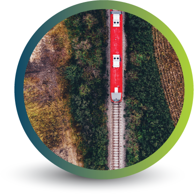
OUR REMOTE SENSING SOLUTIONS
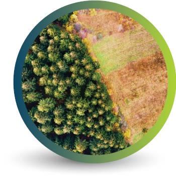


Natural
Forestry

Deforestation
Monitoring

Commercial
Forestry

Mine
Monitoring

Precision
Agriculture
OUR EARTH OBSERVATION TECHNOLOGY


ACTIVE EARTH OBSERVATION & MONITORING PROJECTS

An African Company
With Global Reach

OUR BLOG

European Forestry Regulations – The Journey To A Climate-Neutral EU by 2050
According to Forest Europe, forests cover 227 million hectares of total land in Europe. Protecting them as a critical carbon sink that absorb around 10% of total EU emissions needs to be at the top of the priority list. Here are the EU regulations keeping them protected.

Forestry legislation and policy across Africa and South Africa
To protect the roughly 6.3 million square kilometres of forest in Africa, robust policies and legislation need to be put in place. Inroads are happening globally to better conserve, coordinate and sustain forested areas, from the Democratic Republic of Congo to South Africa and beyond. But this progress isn’t without its share of challenges. We've put together a list of legislation currently in use throughout South Africa and Africa.

Infrastructure Servitude Encroachment Monitoring
Using daily high resolution satellite imagery, we are able to monitor illegal dwelling encroachment into areas around power lines, pipelines, roads and servitude areas regarding municipal infrastructure. Aside from the illegal use of land and encroachment on servitudes being a violation of property rights, illegal encroachment into areas such as power lines and pipelines can pose a serious safety risk to individuals living in those areas as well as the surrounding communities.
OUR PARTNERS

