


Transforming earth observation data into knowledge
Providing customised GIS and remote sensing earth observation and monitoring solutions that enable more informed decision making.
Transforming Earth Observation Data Into Knowledge
At Swift Geospatial, we promote the idea that technology enabling the analysis of changes on our planet should be available to all professionals and decision makers. Our goal is to introduce new earth observation solutions to the market that fulfill this objective without imposing a cost that would limit accessibility to a select group of stakeholders. We advocate for open and unrestricted access to geospatial data, ensuring that everyone can benefit from it.
At Swift Geospatial, we promote the idea that technology enabling the analysis of changes on our planet should be available to all professionals and decision makers. Our goal is to introduce new earth observation solutions to the market that fulfill this objective without imposing a cost that would limit accessibility to a select group of stakeholders. We advocate for open and unrestricted access to geospatial data, ensuring that everyone can benefit from it.
OUR PROCESS

Gather Data

Analyze & Interpret Data

Present Data
OUR PROCESS
Gather Data
Analyze & Interpret Data
Present Data
OUR REMOTE SENSING SOLUTIONS


Natural
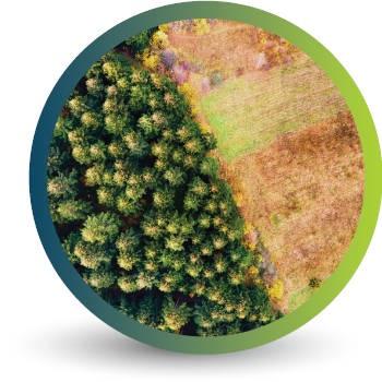
Forestry

Deforestation
Monitoring

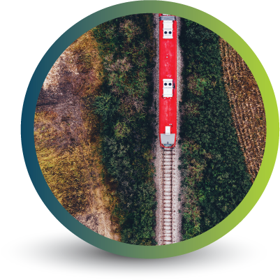
Commercial
Forestry

Mine
Monitoring

Precision
Agriculture
OUR EARTH OBSERVATION TECHNOLOGY


ACTIVE EARTH OBSERVATION & MONITORING PROJECTS

An African Company
With Global Reach

OUR BLOG

As global demand for soy and cattle increases, how can EUDR and other legislation help prevent negative climate impacts?
In a world where deforestation management and climate conservation are becoming increasingly pressing, soybean production and cattle farming are being spotlighted. Regulations like the European Union Deforestation Regulation (EUDR) and others are helping combat unsustainable soybean and cattle farming practices, but how are they faring as demand for these commodities rises globally?
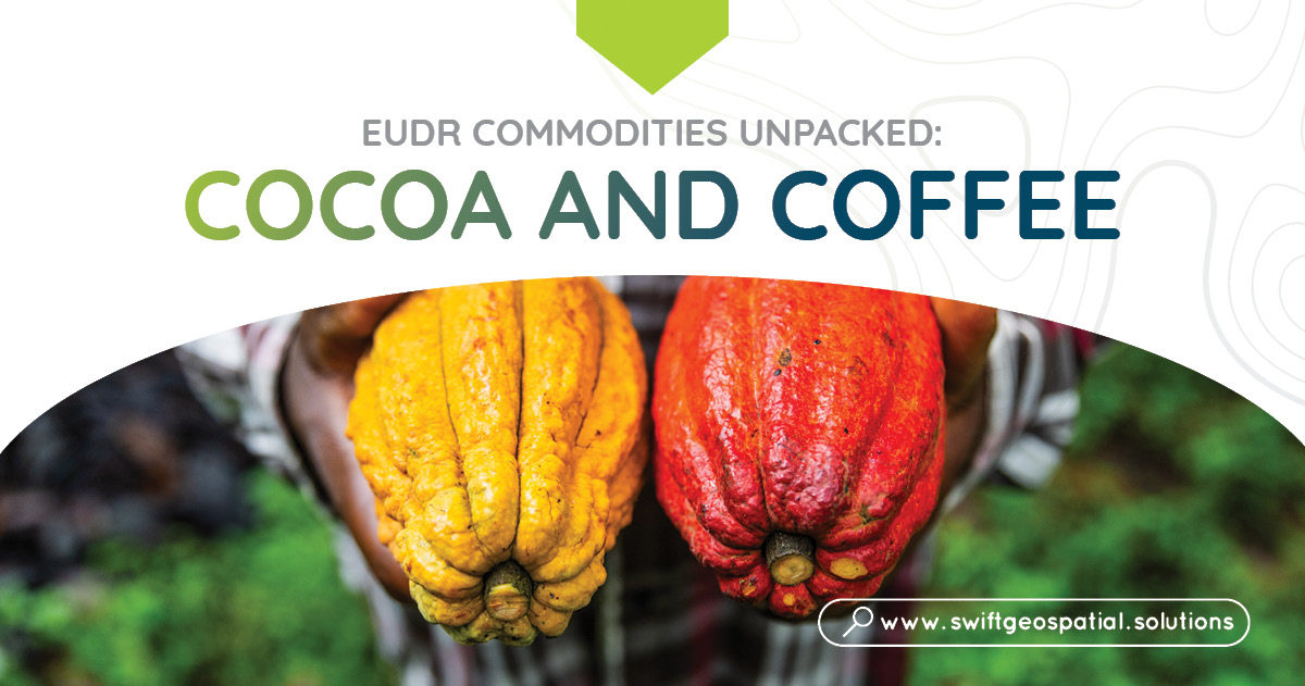
The impact of EUDR on top deforestation commodities: Cocoa and coffee
The EU Deforestation Regulation (EUDR) is a crucial measure to reduce global deforestation caused by major EU-imported goods and commodities. Two of the top deforestation drivers include cocoa and coffee. Find out more about these commodities, their impact and what EUDR hopes to achieve as well as how Swift Geospatial is able to assist in the monitoring of cocoa plantations across the globe.

How Can Swift Geospatial play a role in EUDR Compliance?
EUDR aims to curb deforestation, forest degradation, and general environmental and human rights infractions in the production and consumption of certain imported and exported goods and commodities within the EU. Find out more about EUDR, why it matters and how Swift Geospatial can assist your business compliance through GIS and remote sensing solutions.
OUR PARTNERS

