Forestry management goes through various cycles and thanks to the advancement in technology, remote sensing makes it possible to monitor forests at each of these stages. Amongst others, an initial process after planting is to perform an audit of surviving trees periodically. The use of satellite imagery becomes very useful here as it saves time and resources of manually counting trees in the field. One of Swift Geospatial’s new products makes use of Maxar’s WorldView-3 30cm multispectral satellite imagery to do a tree count as illustrated below:
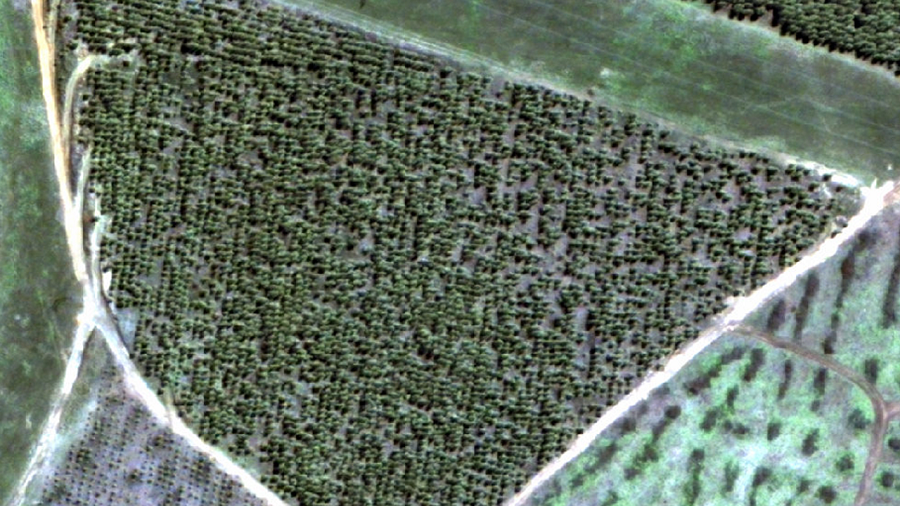
Tree Count RGB

Tree Count
Having the ability to have an accurate tree count before canopy closure allows for forestry management to successfully implement forecasting and plan accordingly.
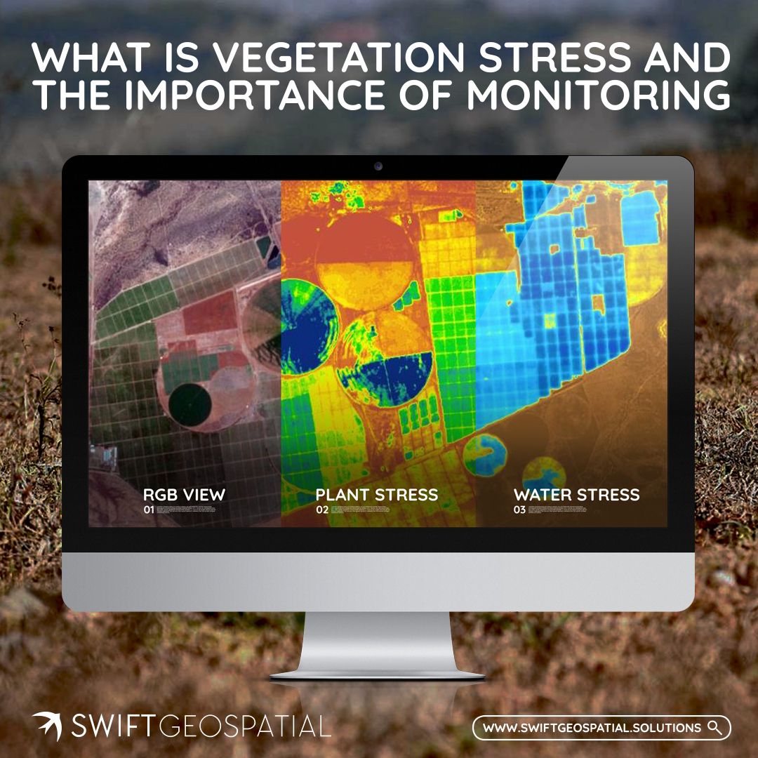
The monitoring of young trees is important in the forestry industry as this is the time when they are highly susceptible to pests and disease. For each compartment/stand an average compartment health is conducted but for young trees before canopy closure an individual tree health assessment gives more insight. Thus, in addition to a tree count individual tree health analytics to pick up stressed trees are also conducted (Please visit our Vegetation Monitoring Series Blog Part 1 and 2 for more detail on vegetation stress and in-field analysis). The below images depicts such analysis performed using machine learning techniques to best identify, map and count all trees within your compartment/stand.

Tree Count NDVI
From the analysis, trees under stress are flagged and this early warning helps make remedial action faster to administer and save the compartment.
Have you read part 1 and 2 in our vegetation monitoring series?

Sign Up to Download Our Joint Webinar With Planet And Learn How Satellite Imagery is Solving Forest Management Challenges.