With a global move to tighten the current regulations around mine tailings monitoring and disaster prevention, mining houses are searching for methods to assist in a proactive monitoring solution which not only provide insight into the tailing dams but can greatly assist the general mine manager in a range of ongoing monitoring aspects.
There is now an understanding that managing tailings is not only an engineering challenge. With risks being posed with significant societal concerns, placing future investment opportunity into jeopardy. Ignoring dam tailings is just no longer feasible for the industry. The launch of a Global Industry Standard on Tailings Management, championed by the International Council on Mining and Metals, the United Nations Environment Programme, and the Principles for Responsible Investment, in August 2020 will see a new form of “regulation” of these facilities, which demands conformance by TSFs within 3 to 5 years.
At Swift Geospatial, we believe in not using one or the other remote sensing technology but rather focusing on using all available remote sensing technologies to provide a complete solution. In doing so, Swift Geospatial can convert imagery into knowledge and provide valuable decision support to the mine manager in a timely manner.

What remote sensing technology are we talking about?
Swift Geospatial has access to Planet 3m resolution satellite imagery, Maxar constellation of ultra-high resolution 30cm to 50cm resolution satellite imagery as well as Capella Space set of Synthetic Aperture Radar (SAR) ranging from 50cm to 1.2m resolution satellite imagery. Having access to these incredible source of optical and SAR data is one thing but transforming this data into actionable knowledge is the key deciding factor. As a company, we decided early on to move our analytics and processes to Amazon Web Services (AWS) to provide our clients with 99.99% up time with quicker processing and delivery times.
Ease of use
Working on the backend (Behind the curtain) is one aspect of the larger solution. The delivery mechanism with which to display the results in an easily digestible manner that allows all personnel access to the information presented, is vital to the success of our monitoring solutions. This deliverable is a focal area of great importance at Swift Geospatial, as not all key decision-making individuals have a Geographic Information Systems (GIS) background and therefore emphasis was placed into how we display the results in such a way that all could benefit from the analysis.
SWIFTview
This approach saw the development of what is known as SWIFTview, a dynamic online web-application. A web-application that offers the end user an ongoing view of their mine with frequent updates and tracking features to provide a true monitoring experience. Displayed analytics through bar graphs, pie charts and visualization allow for a simple, yet effective, means of data display while still providing the GIS expected download capabilities and integration into third party mine software via our REST API service.
The implementation of using multiple satellite imagery services, allows Swift Geospatial to provide the following services within the mining environment.
- Tailing Dam Monitoring
- Illegal Mining Monitoring
- Rehabilitation Monitoring
- Encroachment Monitoring
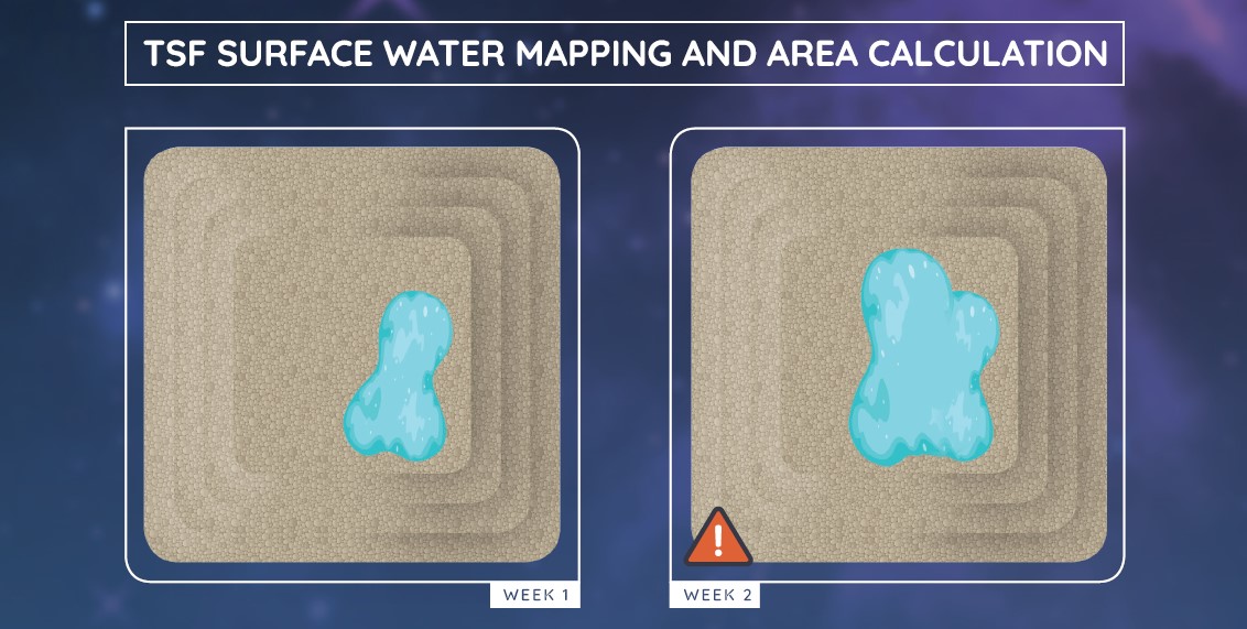
Focusing on mine tailing dam monitoring, Swift Geospatial using imagery fusion from multiple satellite imagery providers to collect usable imagery even in the most challenging of regions. Swift Geospatial applies the following techniques to calculate standing water location and area on the tailing dams.

CONTACT US
[formidable id=2]
E-mail Us
info@swiftgeospatial.solutions
sales@swiftgeospatial.solutions
michael@swiftgeospatial.solutions
Call Us
Pretoria head office:
CONTACT US
[formidable id=2]
E-mail Us
info@swiftgeospatial.solutions
sales@swiftgeospatial.solutions
michael@swiftgeospatial.solutions
Call Us
Pretoria head office:
