The Evolution of GIS: Aerial Photography and the Mapping Revolution – Part 1
Let’s take a decade-by-decade walk into the history books and discover the evolution of GIS and the critical role of aerial photography in its growth into a vital element of today's technological driven society.
Categories:
Date Posted:
January 23, 2025
The Evolution of GIS: Aerial Photography and the Mapping Revolution
Geographic Information Systems (GIS) have redefined how we understand and manage the world, blending maps and data to solve complex problems across a variety of industries such as mining and forestry. Aerial photography has played a pivotal role in this journey, providing an unparalleled perspective on the Earth’s surface and fuelling the development of GIS. From the first-ever aerial photo in the 19th century to the advanced drone and satellite imagery of today, this technology has shaped how we capture, visualize, and analyze geographic data.
Let’s take a decade-by-decade walk into the history books and discover the evolution of GIS and the critical role of aerial photography in its growth into a vital element of today’s technological driven society.
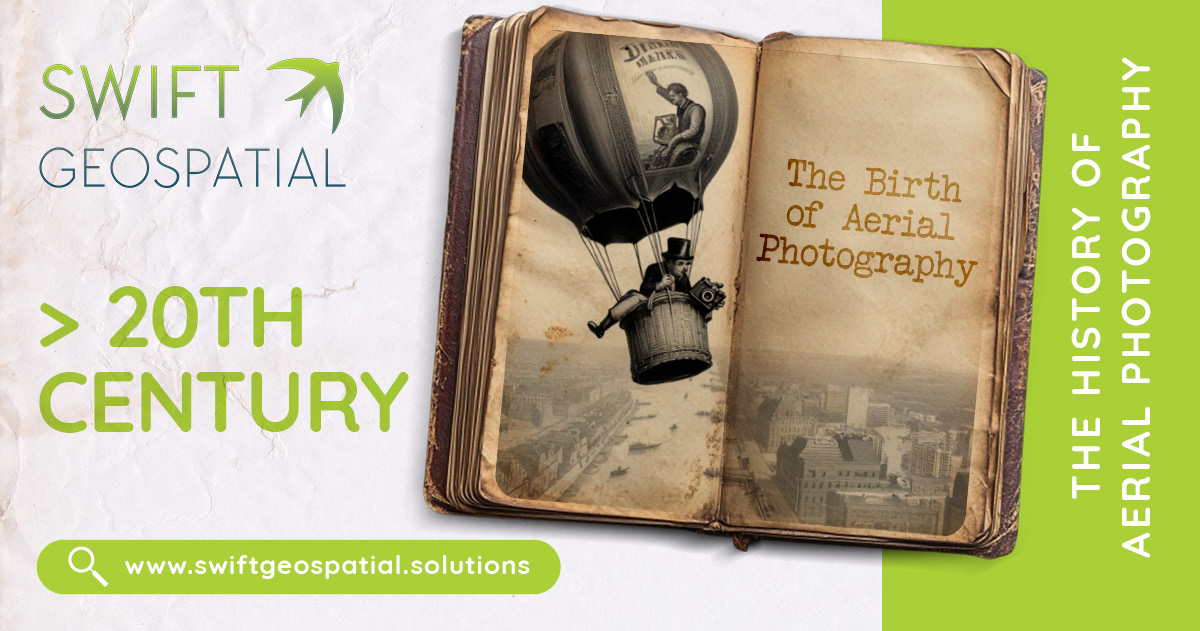
19th Century: The Birth of Aerial Photography
The Incredible Journey of Aerial Photography
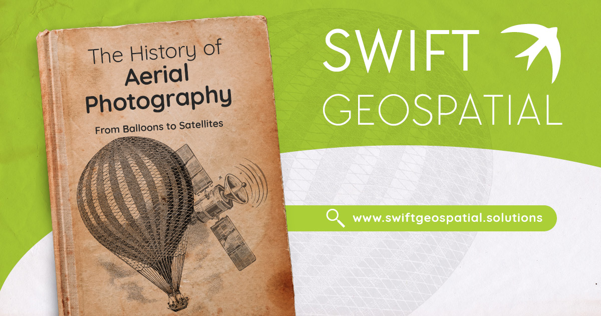
Aerial photography has come a long way since its humble beginnings, evolving from a bold experiment to an essential tool for countless industries and applications. It all started in 1858, when French photographer Gaspard-Félix Tournachon, better known as “Nadar,” captured the first aerial images from a tethered hot-air balloon over Paris. Though Nadar’s photographs unfortunately no longer exist, the known earliest surviving aerial image in history is James Wallace Black and Samuel Archer King 1860 effort, titled ‘Boston, as the Eagle and the Wild Goose See It,’ offering a bird’s-eye view of Boston from a massive height of 630 meters.
Towards the late 19th century, innovations made aerial photography slightly more practical. British meteorologist E.D. Archibald pioneered kite photography in 1882, while Cecil Shadbolt snapped stunning vertical images from a gas balloon, including the first known aerial photograph of the British Isles. Around the same time, Frenchman Arthur Batut pioneered kite photography techniques, paving the way for a more systematic use of aerial imagery. These early methods were groundbreaking at the time and showcased humans desire and ingenuity in capturing the planet from above.
During World War I, aerial photography transformed from a novelty into a critical tool used for military operations. At the start of the war, reconnaissance relied on pilots sketching enemy positions from the air – meaning a pilot had to have both the skill set to fly a plane and then a flair for the arts to be accurate. The practical usage of aerial photography soon became clear, and quickly evolved into a paradigm-shifter for mapping and military intelligence. Germany introduced the first aerial camera in 1913, while French observation aircraft used cameras to capture detailed images of enemy defenses, developing systems to deliver prints quickly to commanders.
In 1912, British pilot Frederick Charles Victor Laws began experimenting with aerial photography, discovering that overlapping vertical images created a 3D effect when viewed through a stereoscope. This innovation added depth to maps and provided more accurate intelligence. By 1915, British pilots were regularly photographing enemy trenches, and by 1916, vertical photos were being used for detailed map-making in regions like the Austro-Hungarian front.
The development of the first practical aerial camera in 1915 by Captain John Moore-Brabazon, in partnership with Thornton-Pickard, made aerial photography even more efficient. The camera, mounted in the aircraft’s floor, could be triggered mid-flight, enabling systematic image capture. By the war’s end, aerial photography had become indispensable. Both sides were capturing images of entire fronts daily, producing over half a million photographs. One standout effort came in 1918, when Australian pilots mapped 624 square miles of the Turkish front in Palestine under harsh conditions, including enemy attacks and high winds. This pioneering work not only improved wartime maps but also demonstrated aerial photography’s enormous potential for cartography and intelligence.
Aerial Photography Takes Flight in Commerce
After World War I and the innovation and practical application, aerial photography took off commercially, showing its potential beyond military use. In 1919, Aerofilms Ltd became the UK’s first aerial photography company, launching large-scale mapping projects across the UK, Africa, and Asia. By the 1930s, the company was using a technique called photogrammetry, creating detailed maps from aerial photos.
In Australia, Milton Kent pushed the boundaries of aerial imaging with advanced cameras, while in the U.S., Sherman Fairchild took aerial photography to new heights—rather literally. Fairchild’s cameras captured enormous areas, with one image in 1936 spanning 600 square miles at a height of 30,000 feet. His innovations redefined aerial surveying and set the stage for how we use imagery in mapping today.
Aerial Photography’s Modern-Day Evolution
After the World Wars, aerial photography quickly found it’s use in civilian life., becoming a key tool for creating topographic maps, urban planning, and environmental studies. Vertical images were used for detailed mapping, while oblique photos found applications in industries like construction, power line inspections, and even archaeology. For example, in Cambodia, aerial surveys of Angkor Borei helped archaeologists uncover ancient water features within the site’s boundaries.
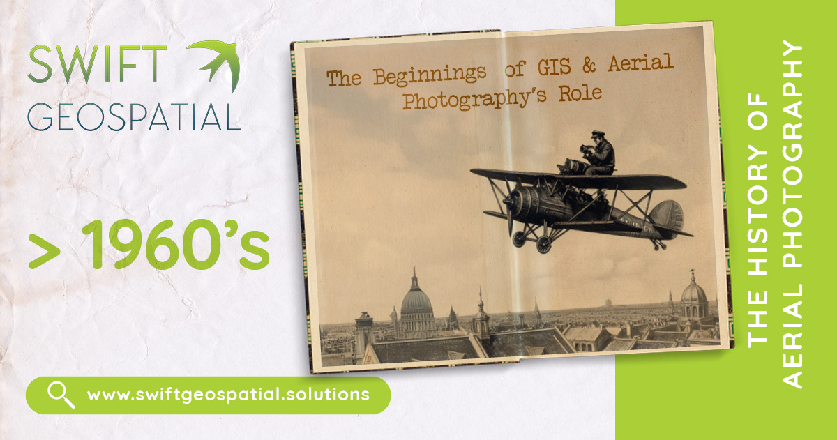
1960s: The Beginnings of GIS and Aerial Photography’s Role
The 1960s were an exciting time for the world of mapping and data analysis—it was the decade when GIS (Geographic Information Systems) officially came to life! This revolutionary approach combined spatial data with analysis to produce meaningful insights. Even before GIS, aerial photography was already a popular tool for cartography and land-use planning, making it the perfect foundation for these early systems.
In 1963, Dr. Roger Tomlinson introduced the Canada Geographic Information System (CGIS), the world’s first computerized GIS. Aerial photos played a crucial role in CGIS, helping map land use, measure areas, and explore spatial relationships in new and groundbreaking ways.
Back then, aerial photography was typically captured using airplanes equipped with what were considered high-resolution cameras for the time. Analysts used stereoscopic techniques, which involved overlapping aerial images to create 3D views of the terrain. This method laid the groundwork for digital elevation models—an innovation that continues to be a key part of GIS today.
Esri
Esri, short for Environmental Systems Research Institute, was founded in 1969 by Jack and Laura Dangermond in Redlands, California. Originally, it started as a small land-use consulting firm with a big vision: to use geographic analysis to help solve real-world problems and make smarter decisions about land and resources.
Jack and Laura, with their backgrounds in landscape architecture and environmental science, recognized the incredible potential of GIS (Geographic Information Systems) to revolutionize how we understand and interact with the world. What began as a consulting venture quickly evolved into something much bigger when Esri shifted its focus to developing GIS software.

1970s: Digitizing Aerial Photography and the Rise of Digital GIS
The 1970s saw GIS move beyond theoretical concepts into practical tools, with aerial photography continuing to play a central role. As governments and academic institutions adopted GIS, high-resolution aerial photos became essential for creating digital maps. These images were digitized to create raster and vector data models, the foundational structures of GIS.
For example, the U.S. Census Bureau’s DIME (Dual Independent Map Encoding) system relied on aerial photography to automate geocoding, linking demographic data to geographic locations. This innovation showcased how aerial photos could improve data accuracy and efficiency in GIS workflows.
During this decade, the increasing use of aerial imagery spurred advancements in cartography. Aircraft-mounted cameras were refined to capture clearer, more detailed photos, while stereoscopic techniques continued to enhance terrain analysis. These innovations ensured that aerial photography remained a cornerstone of GIS as the technology expanded.
Esri also gained prominence during the 1970s, working with government agencies to support land-use planning and resource management projects. Its growing expertise laid the groundwork for its software innovations in the following decade.
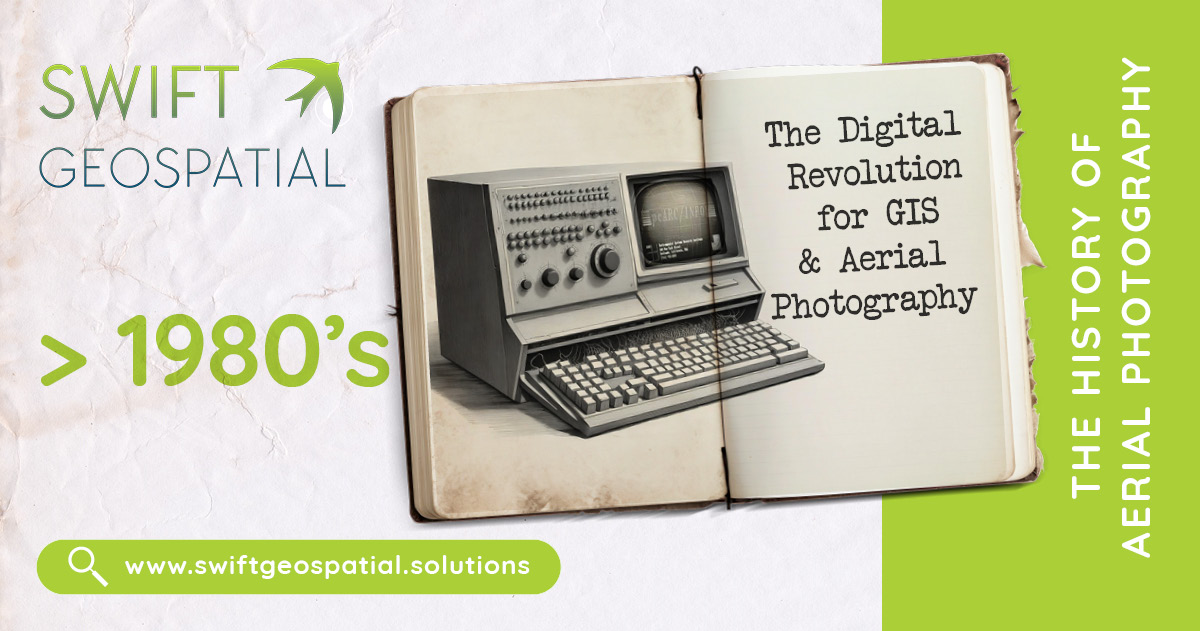
1980s: The Digital Revolution for GIS and Aerial Photography
The 1980s marked a major leap forward for GIS as it embraced the digital age. Aerial photography, which had been a staple in paper maps and analog analyses, began transitioning to digital formats. Scanned aerial photos could now be integrated into GIS software, making them much easier to analyze and combine with other spatial data.
A key milestone came in 1982 when Esri launched ARC/INFO, the first commercially successful GIS software. This innovative tool allowed users to merge spatial data with aerial imagery for powerful analyses, like mapping infrastructure or tracking environmental changes. With the rise of digital aerial photos, mapping became faster and more accurate, and ARC/INFO’s success helped cement GIS as a must-have tool for industries such as urban planning, forestry, and natural resource management.
The Rise of National Datasets: A Game-Changer for GIS
The development of national datasets was a critical milestone in the evolution of GIS, providing the data backbone needed for digital mapping to flourish. Pioneering efforts by the US Census Bureau (USCB) and the US Geological Survey (USGS) played a pivotal role in creating accessible, high-quality data that fueled advancements in GIS technology and applications.
The USCB began its journey into digital mapping in the 1960s, tackling the challenge of automating address matching for census data. This led to the creation of the Dual Independent Map Encoding (DIME) system in the 1970s, which digitized geographic data using points, lines, and polygons stored as map coordinates on punch cards. By the 1980s, the USCB introduced TIGER files (Topologically Integrated Geographic Encoding and Referencing), which became the foundation for seamless national datasets. TIGER files revolutionized mapping by offering a reliable base layer for local and regional datasets and later served as a cornerstone for platforms like OpenStreetMap.
Meanwhile, the USGS, with its long-standing history of mapping dating back to 1879, transitioned to digital mapping in the 1970s. Its efforts included digitizing features from the iconic 7.5-minute topographic maps and developing Digital Line Graphs (DLGs) and land-cover data from satellite imagery. One breakthrough was the creation of Digital Orthophoto Quadrangles (DOQs) in the 1980s, which removed distortions from aerial images, setting a standard for accurate base layers in GIS.
The USGS further democratized GIS data by making its datasets freely available online, introducing The National Map in 2001. This interactive platform centralized data layers like transportation, elevation, hydrography, and orthoimagery, paving the way for modern tools like Google Maps and MapQuest.
Together, the USCB and USGS provided the data foundation that allowed GIS technology to thrive, shaping how we map, analyze, and interact with geographic information today. Their efforts made data more accessible, enabling software innovation and empowering users across industries to build powerful GIS solutions.(2)
Aerial photography was also being augmented by the advent of early satellite imagery, though at the time satellites lacked the high resolution of aerial photos. Remote sensing technologies, which would later contribute to companies like Maxar Technologies, were in their infancy but began complementing aerial images for broader geographic studies.
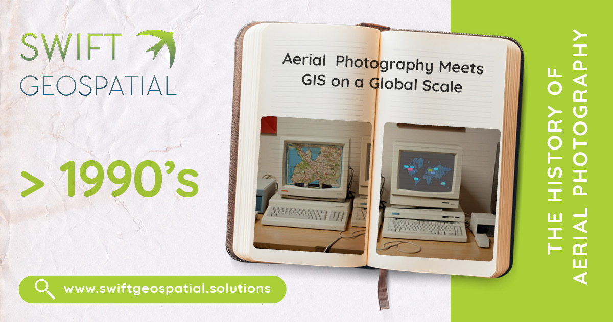
1990s: Aerial Photography Meets GIS on a Global Scale
The 1990s were a booming decade for GIS, fueled by rapid advancements in computer technology and the rise of the internet. Aerial photography continued to play a key role, now delivering higher-resolution imagery that proved invaluable for urban planning, disaster management, and environmental monitoring. Georeferencing techniques, enhanced by the growing use of GPS technology, ensured that aerial images aligned seamlessly with other GIS datasets.
This era also saw the pairing of aerial photography with emerging satellite imagery, offering a more complete and expansive view of geographic areas. While satellite images provided broad coverage, aerial photos delivered the fine details needed for high-precision applications, making them a perfect team for GIS work. This combination opened up exciting new possibilities for mapping and analysis.
Esri launched its ArcView GIS software in the early 1990s, making GIS technology more accessible to users outside of academia and government. The software’s ability to overlay aerial photographs with other spatial data democratized GIS, allowing industries like agriculture, real estate, and public health to adopt the technology.
References:
Aerial Photography
Wikipedia: Aerial Photography
The Role of Airplanes in Aerial Photography
Wilbur Wright and Aerial Photography
Esri History and Evolution
Esri: The History of GIS
Development of National Datasets
US Census Bureau TIGER Files
USGS National Geospatial Program
The Internet and GIS
OpenStreetMap
The Dangermond Preserve
The Nature Conservancy: Jack and Laura Dangermond Preserve

