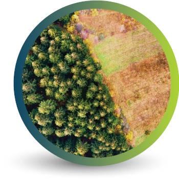
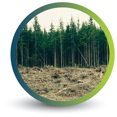
Deforestation Monitoring
Deforestation continues to pose a severe threat to our planet’s ecosystems, contributing to climate change, habitat loss, and biodiversity decline. However, amidst this global challenge, technological advancements in satellite monitoring and Geographic Information Systems (GIS) provide Swift Geospatial with powerful tools to combat deforestation.
Major Causes Of Deforestation
Cocoa Plantations
Livestock Farming
Mining Operations
Palm Oil Plantations

Timber Production
Our earth observation precision forestry monitoring solutions offer real-time data, actionable insights, and comprehensive monitoring capabilities, revolutionizing conservation efforts and enabling more effective strategies to protect our forests.
Our earth observation precision deforestation monitoring solutions offer real-time data, actionable insights, and comprehensive monitoring capabilities, revolutionizing conservation efforts and enabling more effective strategies to protect our forests.
Real-Time Data for Improved Monitoring
Satellite monitoring systems equipped with high-resolution imagery and advanced sensors offer real-time data on forest cover, land use changes, and illegal logging activities. This information enables environmental agencies, researchers, and policymakers to closely monitor deforestation hotspots, identify trends, and respond swiftly to threats. Real-time data helps authorities target their efforts, allocate resources efficiently, and implement timely interventions to prevent further deforestation.

Enhanced Forest Mapping and Inventory
GIS solutions integrated with satellite imagery provide accurate forest mapping and inventory data. By leveraging remote sensing technologies and geospatial analysis, scientists can estimate forest biomass, measure carbon stocks, and identify areas of high conservation value. This comprehensive understanding of forest ecosystems aids in designing sustainable land management strategies, prioritizing protected areas, and fostering informed decision-making for resource allocation.
Detecting Illegal Logging and Encouraging Accountability
Satellite monitoring systems play a crucial role in detecting and combating illegal logging activities. By continuously scanning vast forested regions, satellites can identify unauthorized clear-cutting, logging trails, and timber extraction operations. This information empowers law enforcement agencies, NGOs, and local communities to intervene promptly, hold offenders accountable, and enforce stricter regulations. The transparency provided by satellite monitoring promotes responsible forest management and discourages illegal activities.

Assessing Impact and Planning Restoration Efforts
Satellite monitoring and GIS solutions facilitate the assessment of deforestation’s ecological impact and aid in planning restoration initiatives. By comparing historical satellite imagery and conducting spatial analyses, researchers can quantify deforestation rates, evaluate habitat fragmentation, and estimate biodiversity loss. These insights guide the development of reforestation strategies, including identifying suitable areas for restoration, selecting appropriate tree species, and calculating carbon sequestration potential.
Swift Geospatial employs advanced remote sensing and GIS technology coupled with high resolution satellite imagery from the worlds top providers.
By providing real-time data, supporting forest mapping, detecting illegal activities, assessing ecological impact, these technologies empower stakeholders to make informed decisions and take swift action. However, it is vital to ensure accessibility and affordability of these solutions to all nations and communities, especially in regions most affected by deforestation. By harnessing the power of satellite monitoring and GIS solutions, we can make significant strides towards preserving our planet’s forests and mitigating the adverse effects of deforestation for the benefit of current and future generations.
We generate valuable and accessible information to companies across the world involved in cocoa plantations, forestry and palm oil plantations concerned with deforestation rates, forest conversion, degradation, cover change and more.

High Quality Satellite Imagery

Easy To Use Dashboard Information Presentation

Forestry Monitoring Solutions
View our deforestation blog posts
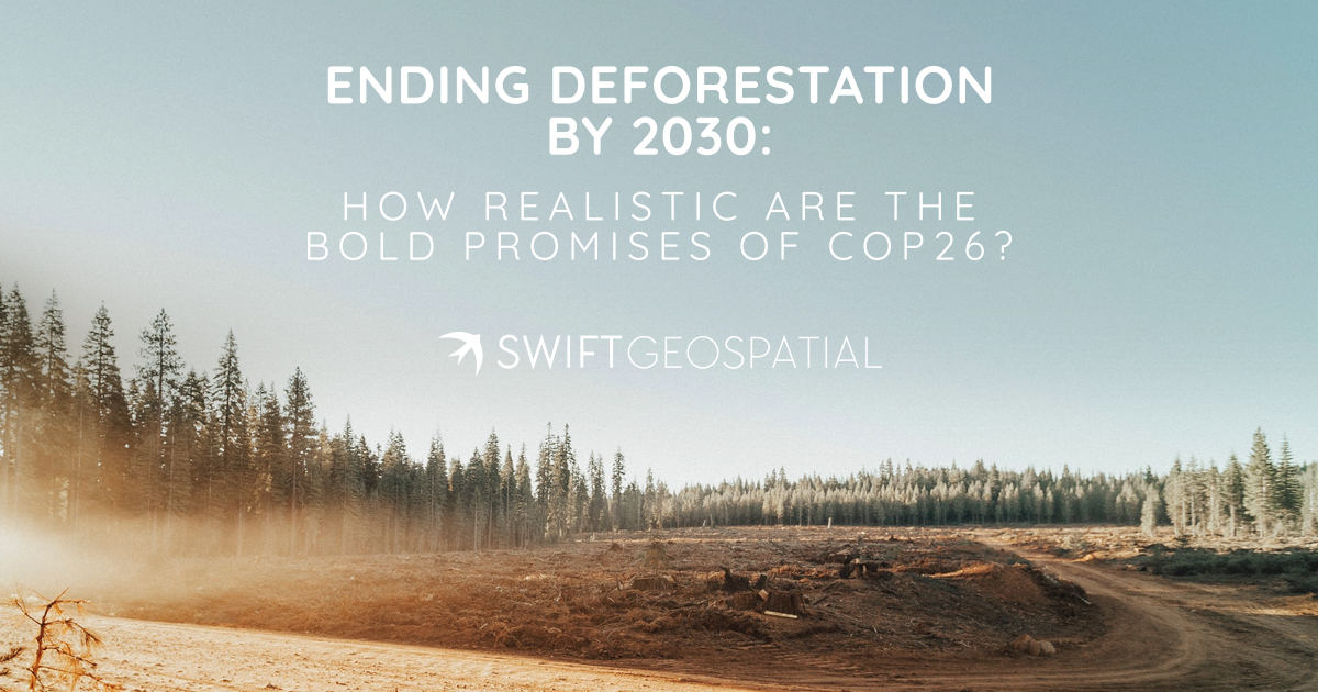
Ending deforestation by 2030: How realistic are the bold promises of COP26?
COP26: World leaders have been so bold as to promise an end to deforestation by 2030. That is a short 8 years from now - not a long time at all in the grand scheme of saving our planet. Considering an area of forest the size of 27 football pitches (that’s about 2 625 hectares) is lost every minute. Indeed, the loss of forests - the earth’s carbon sinks - are a huge contributing factor towards climate change and global warming.
The Future Of Our Forests
Today is International Day of Forests for 2021. A great initiative to raise the awareness of the importance of our planets forests. This years theme is "Forest restoration: a path to recovery and well-being." Our latest article highlights some solutions currently in play that could be of a greater importance in the future. Such as Carbon Credits and what it could mean for the industry of forestry.