
The Geospatial Forestry Platform (GFP) can provide useful insights to aid in the successful management of your forestry resource. The platform provides solutions to both commercial and small-scale forestry through a Geographic Information System (GIS) in a user-friendly package. Swift Geospatial understands the need for access to accurate contextual information about your woodlots and trees. Accordingly, the Geospatial Forestry Platform provides access to free forestry monitoring modules that can provide a baseline overview of your forestry areas. The available data includes near-real-time satellite imagery with limited on-the-fly analytics, a wide range of context-specific spatial datasets, and limited access to the useful Site Species Matching Tool (SSMT).

Sentinel Viewer
The Sentinel Viewer offered within the free forestry monitoring modules allows access to Sentinel 2 high-resolution satellite imagery over an area of interest. At a spatial resolution of 10m and acquisition times of up to every five days, users receive near-real-time imagery of their forest resource. This module provides a greater context of the environment in which your woodlots are located, enriching the planning and decision-making process. Additional on-the-fly analytics and tools are available on this viewer. An IS Export tool allows users to export the imagery for their use at specified pixel sizes and spatial references. The IS Render tool provides limited on-the-fly analytics, such as the Normalized Difference Vegetation Index (NDVI), to aid in monitoring tree health.

Spatial Layers Module
The Spatial Layers module allows users to study their forests through numerous freely available datasets. Datasets include roads, water features, points of interest, boundary data, human geography data, land use and landcover data, amongst others. Users will be able to view the location of their woodlots within the environmental context, which can help enrich the planning and decision-making process.
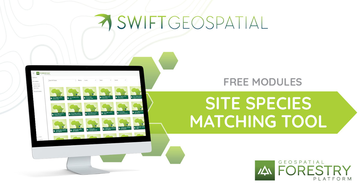
Site Species Matching Tool
The most important free module in the forestry monitoring suite is the Site Species Matching Tool (SSMT) overlays the growing conditions (temperature, rainfall, soil and topography) with the growing requirements of a range of species and then matches them to the different climatic areas. The tool aims to provide a preliminary guide to selecting the most ecologically suitable species for a particular site. SSMT can help mitigate the planting of unsuitable species in areas where they will be at risk of disease and other susceptibilities at a later stage.
Understanding what to plant where can help growers and organisations plan for potential expansion. Indeed, understanding what species are viable for the market and the associated risks of having planted unsuitable species is a useful tool. Furthermore, utilising the SSMT could provide insights as to why species already planted are not flourishing as expected. Several PDF maps are freely available for download for a limited number of species.

Mobile Application
There is also an interactive mobile application that provides interactive access to the SSMT species layers available in the free module. Users can geolocate to their specific location or pan around a map to view the different species’ site suitability for a specific location. This application is available for both Android and IOS devices.
These modules are available for free after users subscribe. The free modules intend to provide an overview to aid in informed decision-making about your current and planned forestry projects. The Paid Modules will provide a more in-depth and customised analysis specific to your forestry needs. In the upcoming weeks, we will go into detail about what these Paid Modules can provide you.