Using GIS and Remote Sensing To Monitor Your Forest or Plantation.
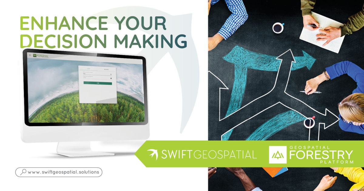
The Geospatial Forestry Platform (GFP) was developed by Swift Geospatial to address the need for user-friendly, inclusive, and scientific insights into forestry management and monitoring. The Geospatial Forestry Platform provides small farm and plantation forestry, solutions through a Geographical Information Systems Platform. This platform packages forestry and plantation monitoring solutions into online dashboards that are straightforward and customizable. Essentially, the GFP delivers a ‘one-stop-shop’ for your tree monitoring requirements.
Different modules are available that each focus on the various facets of forestry management. These modules are all customizable for your purposes and available on a secure landing page accessible via a username and password.

The combination of Geographic Information Systems (GIS) and Remote Sensing can provide a level of insight into forestry that can be beneficial at multiple scales. From monitoring individual trees at a high resolution to evaluating the overall health of an entire plantation, GIS can provide decision-makers with the knowledge required to successfully manage timber resources.
By applying this technology to forestry, we can start to redefine the way forestry is managed.

The GFP has a selection of modules available for free after users subscribe. Subscribers will have access to imagery of their forests, as well as additional spatial data layers that help to add context to an area of interest. Understanding the transportation systems, population dynamics, and environmental intricacies can provide a richer understanding of the timber resource.
Additionally, subscriptions allow limited access to a valuable forestry product: the Site Species Matching tool. The Site Species Matching tool (SSMT) overlays the growing conditions with the growing requirements of different tree species and matches them to varying climatic areas to help growers select the most suitable species to plant on their sites. A free subscription allows users access to a limited number of PDF maps detailing the suitability of species within counties (or districts).
Paid subscriptions include access to a variety of modules that provide in-depth analytics related to the many varying facets of forestry. The individual woodlots and forestry resources are mapped and input into a geographical database from which all the analysis is based. Closely related to this module, Deforestation and Monitoring monitors the health of forest resources as well as provides insights into the extent of potential deforestation.
The Post-Fire module provides insight into the progression of a fire disturbance on your forest resource. From tracing the point of origin to monitoring the extent and direction of past fire occurrences, this module provides crucial insights into the events surrounding a fire. Many more modules are available to users with paid subscriptions.

Over the next few weeks, we will continue to delve deeper into the modules available on the Geospatial Forestry Platform (GFP). We will detail how the 12 modules available on the GFP can help you manage your timber. Join us as we redefine forestry through technology.
Please feel free to contact us for more information or queries on these modules and the many more available to you on the Geospatial Forestry Platform.

