A Collaborative and Forward-Looking Partnership: Swift Geospatial and Planet
To learn more about this partnership and hear directly from Michael Breetzke, click the link below to read the full article with Planet and watch the accompanying video.
To learn more about this partnership and hear directly from Michael Breetzke, click the link below to read the full article with Planet and watch the accompanying video.
Maxar’s Legion satellites are truly in a league of their own, thanks to their jaw-dropping ultra-high resolution and incredibly frequent revisit capability. This combo makes Legion an absolute game-changer for a whole range of applications.
Swift Geospatial is thrilled to announce its participation and exhibition at the World Cocoa Conference - Paying More for a Sustainable Cocoa, set to take place in Brussels from April 21st to April 24th, 2024.
We are seeking a motivated and enthusiastic Junior Sales Consultant to join our sales team. This is an exciting opportunity for a recent graduate or entry-level professional looking to kick-start their career in sales.
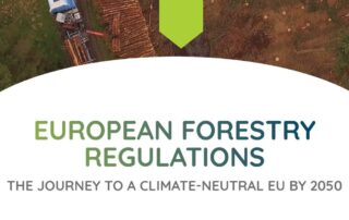
Ensuring the most efficient and future-proof forestry monitoring and management processes are in place is fundamental to long-term environmental, economic and social sustainability. Using precision forestry, which focuses on integrating new technology into these processes, is the answer.
When it comes to forestry management and planning, the more information you have at your fingertips the better you can get a bird’s-eye view of potential risks, such as climate change and deforestation. However, sifting through this information and understanding how to use different pieces of data for actionable outcomes is even more critical. And that is where Decision Support Systems (DSS) play a vital role.
According to Forest Europe, forests cover 227 million hectares of total land in Europe. Protecting them as a critical carbon sink that absorb around 10% of total EU emissions needs to be at the top of the priority list. Here are the EU regulations keeping them protected.
Using daily high resolution satellite imagery, we are able to monitor illegal dwelling encroachment into areas around power lines, pipelines, roads and servitude areas regarding municipal infrastructure. Aside from the illegal use of land and encroachment on servitudes being a violation of property rights, illegal encroachment into areas such as power lines and pipelines can pose a serious safety risk to individuals living in those areas as well as the surrounding communities.
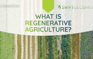
The idea behind regenerative agriculture is to create a cycle of life that supports both the plants and the animals on the farm, and also helps the environment around it. For example, healthy soil can store more carbon from the air, which is good for the climate. It can also hold more water, which is good for preventing droughts and floods.
Our Geospatial Forestry Platform is designed to package forestry monitoring solutions into a a set of easy to digest online dashboards that are straightforward and customizable. Essentially, the GFP delivers a ‘one-stop-shop’ for your tree monitoring requirements.