Drones vs. Satellites: Understanding Their Benefits and When to Use Each for Effective Monitoring
With our expertise in satellite imagery and remote sensing, we offer a range of services that not only streamline day-to-day mining operations but also help companies meet regulatory requirements and reduce their environmental footprint.
Categories:
Date Posted:
November 25, 2024
Drones vs. Satellites: Understanding Their Benefits and When to Use Each for Effective Monitoring

Advantages of Drones
High-Resolution for Detailed Insights
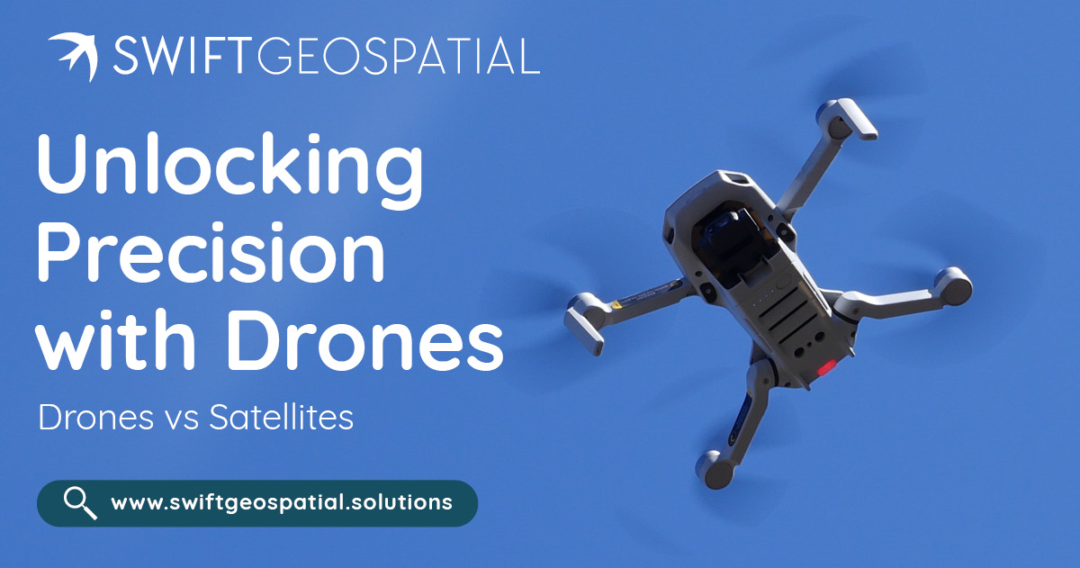
Drones are renowned for their ability to capture high-resolution imagery, often reaching resolutions of just a few centimeters per pixel. This capability allows for unparalleled detail, far exceeding the limits of most satellite imagery. For example, in precision agriculture, drones enable farmers to evaluate the health of individual plants, detect pest infestations, or identify areas requiring irrigation. In infrastructure management, drones are used to inspect critical assets like bridges, buildings, and power lines, helping engineers detect micro-cracks, structural anomalies, or areas needing maintenance.
This level of granularity ensures that even the smallest details are captured, making drones indispensable for tasks where precision is critical.
Flexibility and Real-Time Control
Drones offer unmatched flexibility in data collection, making them a go-to choice for projects with dynamic or immediate needs. Unlike satellites, drones can be deployed on-demand, flown at specific altitudes, and programmed to follow customized flight paths. This allows operators to control every aspect of data acquisition, from timing to angles and specific areas of interest.
For disaster response, drones can quickly assess damage to infrastructure, locate survivors, or deliver real-time situational awareness to emergency teams. In construction site monitoring, drones allow project managers to track progress, ensure safety compliance, and identify potential delays—all in real-time.
This agility and responsiveness make drones a reliable tool for projects requiring immediate and precise insights.
Cost-Effective for Small Areas
When it comes to surveying small to medium-sized areas, drones provide a cost-effective alternative to satellites or traditional ground surveys. The initial investment in drone equipment and training may be significant, but the operational costs are relatively low compared to acquiring high-resolution satellite imagery or deploying large teams for manual surveys.
For projects like real estate development, pipeline inspections, or localized agricultural mapping, drones offer a practical, affordable solution that delivers high-quality results without breaking the bank.
Limitations of Drones
Limited Coverage
One of the primary limitations of drones is their inability to cover large areas efficiently. Drones are bound by their battery life, which typically lasts 20–40 minutes per flight, and their operational range, often restricted to a few kilometers. For larger regions, completing a survey might require multiple flights, recharging, and considerable manpower to manage operations.
For instance, surveying a national park or monitoring a large-scale agricultural region with drones would be time-consuming and resource-intensive, making them less practical for projects on a vast scale.
Regulatory Challenges
Drone operations are subject to strict regulations that vary widely by country and region. These regulations often dictate where, when, and how drones can be flown. Operators may need permits, face restrictions in no-fly zones near airports or sensitive areas, and comply with air traffic control requirements.
In addition, safety concerns, such as the risk of drones colliding with manned aircraft or falling into populated areas, further complicate their deployment. These challenges can delay projects and increase the cost of operations.
Weather Dependency
Drones are highly sensitive to weather conditions. Strong winds can destabilize flight paths, rain can damage equipment, and fog can reduce visibility. These factors can delay data collection and, in some cases, render drones entirely unusable.
For instance, during a storm or in high-altitude regions with frequent adverse weather, relying solely on drones can disrupt the timeline of a project. This weather dependency limits the operational window for drone-based surveys.
Operational Complexity
While drones provide advanced capabilities, they require skilled personnel to operate effectively. Drone pilots need proper certification, and the equipment itself demands regular maintenance to ensure reliability. Technical malfunctions, crashes, or software failures can result in data loss, downtime, or additional costs for repairs and replacements.
Organizations relying on drones must also invest in training, insurance, and backup systems to mitigate these risks, adding layers of complexity to operations.

Advantages of Satellites
Extensive Area Coverage
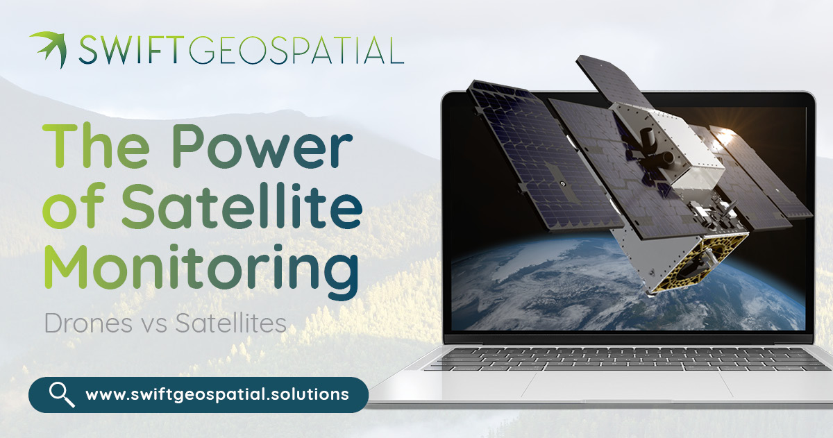
Satellites are unparalleled in their ability to capture imagery over vast areas, making them the go-to solution for projects that demand a broad perspective. Whether it’s monitoring an entire country or spanning continents, satellites deliver large-scale data in a single pass—something unattainable by other technologies.
This expansive reach is indispensable for critical efforts like climate change research, nationwide infrastructure assessments, and deforestation tracking. For instance, satellites play a pivotal role in monitoring deforestation in the Amazon rainforest, offering detailed data across thousands of kilometers to support global conservation strategies.
Frequent Revisit Times
Satellites operate on predictable orbits, allowing them to revisit specific locations at regular intervals. This consistency is vital for generating time-series data that enables monitoring of changes over time.
From observing urban expansion and agricultural cycles to tracking the progression of natural disasters like hurricanes or wildfires, satellites provide a reliable, repeatable data stream. Their ability to revisit areas frequently ensures long-term projects have the insights needed to assess trends and make informed decisions.
Weather and Light Independence
Certain satellite technologies, such as radar and thermal sensors, are engineered to operate seamlessly regardless of weather conditions or daylight. This capability ensures that data collection continues uninterrupted in scenarios where drones or other tools might be hindered by rain, clouds, or darkness.
For example, radar satellites penetrate cloud cover to generate critical maps of flood zones, while thermal satellites detect heat patterns, proving invaluable in disaster response and environmental monitoring. This all-weather functionality ensures that satellites remain operational under any conditions.
Satellite Imagery: Optimising Strengths for Maximum Impact
Resolution: Tailored for Large-Scale Applications
Satellite imagery offers exceptional coverage and is designed to address projects on a regional, national, or even global scale. While drone imagery may excel in hyper-local detail, satellites provide resolutions—often up to 30 centimeters per pixel—that are more than sufficient for broad monitoring needs, such as urban planning, environmental conservation, and large-scale agricultural assessments. This balance between coverage and resolution ensures that satellites remain the most effective choice for projects requiring extensive spatial insights.
Value-Driven High-Resolution Solutions
High-resolution satellite imagery represents an investment in precision and scalability. While costs may vary depending on the resolution and frequency of data acquisitions, the value lies in the unmatched efficiency and breadth of coverage that satellites provide. For clients seeking frequent updates or large-scale monitoring, satellites offer a cost-effective alternative to more labor-intensive and resource-heavy methods like ground surveys or drone operations.
Additionally, advancements in satellite technology have made high-resolution data increasingly accessible, ensuring that clients can achieve their project goals without compromising quality or budget considerations.
Strategic Scheduling and Overcoming Atmospheric Challenges
Satellites operate on predictable orbits, ensuring reliable revisit times for consistent data collection. While some timelines may need to be adjusted to align with satellite schedules, this regularity provides dependable opportunities for capturing time-series data and monitoring changes over extended periods.
For challenges like cloud cover and haze, modern satellite systems offer solutions through radar and thermal imaging technologies, which can penetrate atmospheric obstructions and deliver actionable data regardless of weather conditions or lighting. These capabilities make satellites an all-weather, all-condition tool for geospatial intelligence.

Exploring the Potential of Drones and Satellites with Swift Geospatial
Swift Geospatial envisions the future of geospatial intelligence by exploring the possibility of bridging drone and satellite technologies to deliver innovative, tailored solutions. By leveraging partnerships with leading satellite imagery providers, Swift Geospatial could offer scalable options with diverse spatial, temporal, and spectral capabilities to meet the needs of any project.
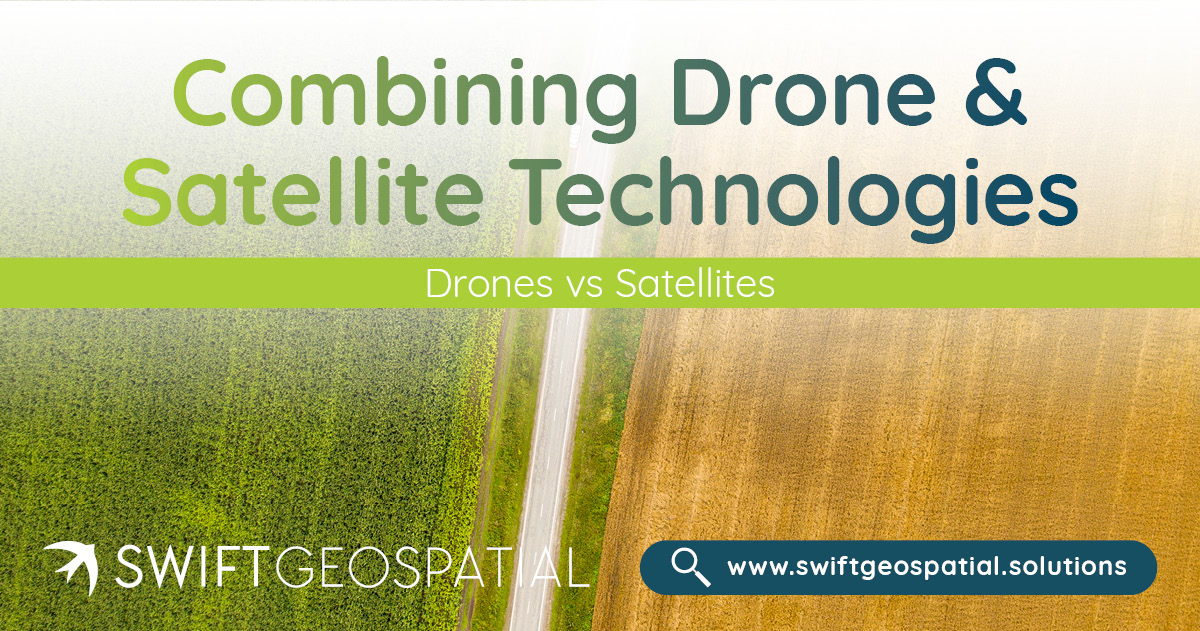
In the future, integrating high-resolution drone imagery into Swift Geospatial’s analysis workflows could provide clients with localized, ultra-detailed data for specific sites or tasks. Paired with the expansive coverage and revisit capabilities of satellites, this hybrid approach would enable actionable insights that cater to projects of any size or complexity.
This vision reflects Swift Geospatial’s commitment to innovation and adaptability, ensuring clients have access to cutting-edge tools and the combined strengths of multiple technologies. While this service is not currently available, it represents an exciting possibility for expanding the potential of geospatial intelligence.
Conclusion
The evolving landscape of geospatial technologies offers unprecedented opportunities to gather, analyze, and act on critical data. While satellites provide unmatched coverage, frequent revisit capabilities, and global accessibility, drones excel in delivering localised, high-resolution imagery with real-time flexibility. Both technologies have unique strengths that address specific project needs, from detailed site inspections to large-scale environmental monitoring.
At Swift Geospatial, we are committed to helping clients unlock the full potential of satellite technology while exploring the exciting possibilities of integrating complementary solutions like drones. Our goal is to empower industries with actionable insights that drive smarter, more sustainable decisions. Whether it’s leveraging the extensive reach of satellites or imagining a future where satellite and drone technologies work in tandem, Swift Geospatial remains at the forefront of geospatial innovation, ready to meet the diverse challenges of a rapidly changing world.
When to Use Drones vs. Satellites
Understanding the strengths and limitations of drones and satellites is key to selecting the right tool for your project. Here’s a quick comparison:
| Feature | Drones | Satellites |
|---|---|---|
| Resolution | High (centimetre-level detail) | Moderate to low (30 cm per pixel) |
| Coverage Area | Small to medium | Large-scale, regional, or global |
| Operational Cost | Lower for small areas | Cost-effective for large-scale monitoring |
| Weather Dependency | Affected by weather | Minimal (radar and thermal sensors) |
| Revisit Times | On-demand | Regular intervals |


