Insurance Monitoring
New developments in satellite technology and processing algorithms mean that satellite data is now able to provide near real time analytics tailored to the insurance (agriculture and disaster) industry, leading to actionable information when it’s needed most.
Swift Geospatial is able to remotely monitor your agriculture fields for
- Health
- Yield forecasting
- Remote field assessment
- Claim assistance
- Fraud detection
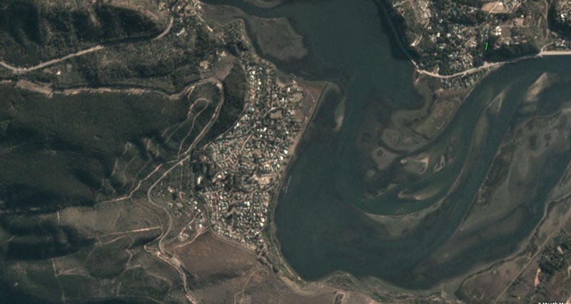
Swift Geospatial is in a position to deal both proactively and re-actively in monitoring areas that have been or are under observations of disaster level events such as fire’s, floods, storm events and earthquakes.
- Disaster Mitigation
- Remote area assessment
- Fraudulent claims
- Pre & post disaster analysis through archive and new collect satellite imagery
Whilst providing you with the latest imagery and alerts, all through an online web-portal.
How it Works
Proactive monitoring of agriculture for insurance purposes is now possible through the latest satellite information and high speed computing systems. Swift Geospatial has designed and implemented an online portal which delivers the results of these analyses, meaning insight is available anywhere in the world, at any time of the day.

CLAIM ASSISTANCE

FRAUD IDENTIFICATION

FIELD VERIFICATION

UPDATED IMAGERY

EASE OF USE

RISK MAPPING

The above images showcase the fire damage from the 2017 Knysna fires.
Online Platform
")
24 Hour access to your custom designed online platform for graphical result display and decision support
Outputs
- UAV ultra-high resolution imagery field assessments/analysis
- Satellite based high resolution imagery field assessments/analysis
- Post claim analysis
- Remote desktop field assessments
- Claim assistance
- Fraud detection
- Online web-application
